What is recorded here
On a gentle S-facing slope at the foot of Slievenamuck, in the Glen of Aherlow, under pasture. A roughly circular area (diam. 31.2m N-S; 32m E-W to field boundary) with a N-S field boundary slightly truncating or incorporating the bank in the W quadrant. This grass-covered monument is defined by a bank largely reduced to scarp (Wth 2.6m; ext. H 0.21m) and an external fosse (Wth 1.7-2.4m; D 0.15-0.7m). Bank (Wth 7.8m; int. H 0.07m; ext. H 1.3m) evident in SE-S-SW quadrant.
Compiled by: Jean Farrelly
Date of upload: 26 August 2011
The monument record does not grant public access. Check the route and ask the landowner before entering private land.
- What survives
- Recorded monument
Places near here
 College Bridgebridge · 469 yd
 IndicatedEnclosure · 1177 yd
 Enclosure in Pollagh (templeneiry Par.)Enclosure · 1275 yd
 Dromomarka Bridgebridge · 1607 yd
 Bansha ForestForest · 1.1 mi
 Cordangan Castle ruinsCastle · 1.5 mi
 The RockViewpoint · 1.5 mi
 Christ the KingViewpoint · 1.8 mi
 Glen of AherlowViewpoint · 1.9 mi
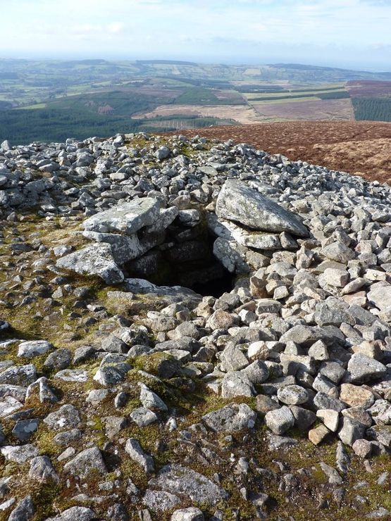 Site of Seefin CastleCastle, unclassified · 2.1 mi
 Glengarra WoodWood · 2.3 mi
 KnockastakeenMountain / peak · 2.6 mi