What is recorded here
Fairy fort in Lisnafeddaly, County Monaghan, is an earthen ringfort occupying the east tip of a short west-east spur. Its grass-covered circle measures about thirty-five metres across, bounded by an overgrown bank that rises three metres externally in places before thinning into a half-metre scarp. Field banks have woven into the perimeter, and a narrow fosse survives at the northwest, yet the original entrance has vanished beneath grass and time. The shape remains clear enough to suggest a defended or ceremonial enclosure, even if human memory has faded into fairy legend.
Located at the E tip of a short W-E spur. This is a subcircular grass-covered area (dims 35.5m NW-SE; 28.8m NE-SW) defined by an overgrown earthen bank (at SW: Wth 5.4m; int. H 0.8m; ext. H 3.3m) SSW-W-NE, but the perimeter is reduced to a scarp (H 0.5m) elsewhere. A N-S field bank is incorporated in the scarp SW-NW, and a WNW-ESE field bank runs along the top of the scarp N-NE. A small section of fosse (Wth of base 4m; ext. H 0.65m) survives between the field banks at NW, but it is not evident elsewhere. The original entrance is not identified.
The above description is derived from the published 'Archaeological Inventory of County Monaghan' (Dublin: Stationery Office, 1986). In certain instances the entries have been revised and updated in the light of recent research.
Revised by: Michael Moore
Date of revision: 1 February 2018
The monument record does not grant public access. Check the route and ask the landowner before entering private land.
- What survives
- Recorded monument
Places near here
 farm housefarm house · 421 yd
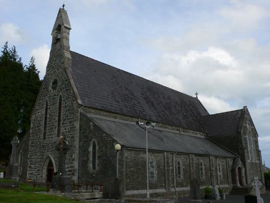 Saint Michael's Catholic Churchchurch/chapel · 1.0 mi
 Lisdrumturk fortFairy fort / earthen ringfort · 1.2 mi
 Black fortFairy fort / earthen ringfort · 1.6 mi
 RaferaghMountain / peak · 2.1 mi
 NorthlandsWood · 3.1 mi
 Horse-chestnutHorse-chestnut · 3.3 mi
 TobernagalliaghSpring · 3.6 mi
 Drumerlough MoreMountain / peak · 3.6 mi
 Bawn in LisdrumskeaBawn · 3.9 mi
 Bush IslandIslet · 4.1 mi
 Gull IslandIslet · 4.3 mi