What is recorded here
Lisnacush is called a fairy fort because people believed the fairies lived there, but it is an earthen ringfort, a human defensible home or farm enclosure. It stood on an ENE-facing slope in pasture as a raised circular area about forty-three metres across, bounded by a low bank of earth and stone. Whether it was a dwelling, a boundary marker or a place of refuge cannot be known now because the ground has been levelled.
On an ENE-facing slope in pasture. A report in 1975 (SMR file) recorded a raised circular area (diam. c. 43m) enclosed by a partially denuded, low bank of earth and stone. There was no trace of a fosse and the original entrance was not recognisable. It has since been levelled and is not visible at ground level.
Compiled by: Patrick F. O'Donovan
Date of upload: 26 August 2011
The monument record does not grant public access. Check the route and ask the landowner before entering private land.
- What survives
- Recorded monument
Places near here
 IndicatedEnclosure · 1269 yd
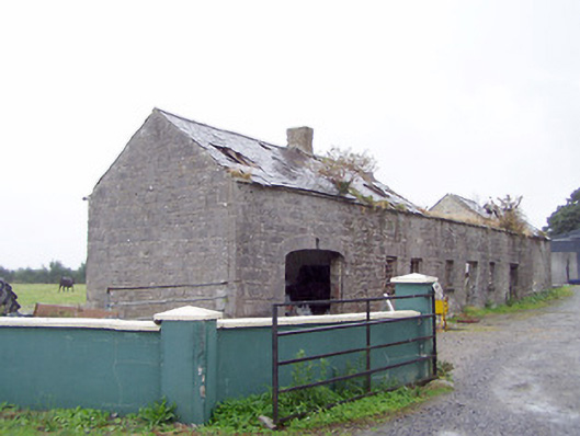 Cordara Houseoutbuilding · 1498 yd
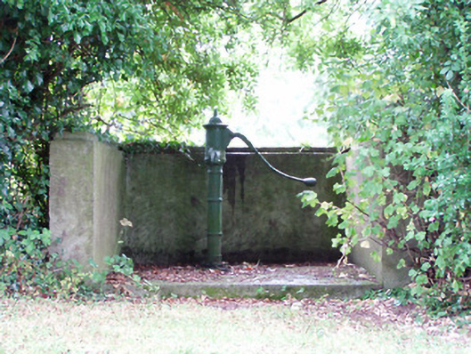 water pumpwater pump · 1696 yd
 Platform in Commons SouthPlatform · 1.2 mi
 Rathcline CastleBawn · 2.1 mi
 White Sand WoodWood · 2.2 mi
 Caltragh CastleCastle, unclassified · 2.4 mi
 Goat's IslandIslet · 2.7 mi
 Wild birdsVisitor information · 2.7 mi
 Little IslandIslet · 2.8 mi
 Commons North WalkVisitor information · 3.0 mi
 Culnagore WoodForest · 3.9 mi