What is recorded here
Fairy fort in Lisnacush, County Longford: a 26.8m earthen ring on a SE-facing pasture slope, its low bank and shallow fosse worn flat by cattle. The true entrance has vanished under grass and traffic, leaving only a circular shadow where people once drew a line between inside and out.
On a SE-facing slope in pasture. A raised circular area (diam. 26.8m) enclosed by a low bank of earth and stone (Wth 3.4m; H 0.65m max.) with a shallow external fosse (Wth 5.1m; D 0.2m). A NNE-SSW field boundary skirts the fosse from NNE-E-SE. Some large boulders are incorporated into the bank but both it and the fosse are much degraded by cattle trampling over the monument. The original entrance is not recognisable.
Compiled by: Patrick F. O'Donovan
Date of upload: 16 January 2012
The monument record does not grant public access. Check the route and ask the landowner before entering private land.
- What survives
- Recorded monument
Places near here
 IndicatedEnclosure · 589 yd
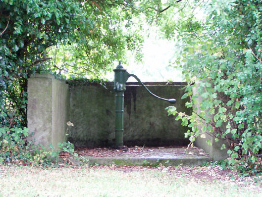 water pumpwater pump · 981 yd
 Platform in Commons SouthPlatform · 1372 yd
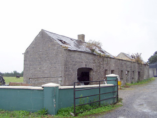 Cordara Houseoutbuilding · 1444 yd
 Rathcline CastleBawn · 2.1 mi
 Caltragh CastleCastle, unclassified · 2.2 mi
 White Sand WoodWood · 2.3 mi
 Goat's IslandIslet · 2.4 mi
 Little IslandIslet · 2.5 mi
 Wild birdsVisitor information · 2.8 mi
 Commons North WalkVisitor information · 3.1 mi
 Elfeet BayBay · 3.6 mi