What is recorded here
Magic is not needed to explain the fort, although people once believed it. The earth still holds a round shape twenty-four metres across on a south-facing slope in Lismoylan. Its thin bank has been worn low by rain, grass and time, yet the north and east edges remain clear enough to walk around. A household may have stood there before memory faded, using the rise to keep watch over the pastureland.
On a S-facing slope in level pastureland. Poorly preserved circular rath (diam. 24.4m) defined by a bank (Wth 0.9m; int. H 0.15m; ext. H 0.9m) best preserved at N and E. (McCaffrey 1952, 236-7, no. 146a)
Compiled by: Galway Archaeological Survey, UCG
Date of upload: 18 January 2018
The monument record does not grant public access. Check the route and ask the landowner before entering private land.
- What survives
- Recorded monument
Places near here
 Man-made underground passageMan-made underground passage · 1152 yd
 CaveMan-made underground passage · 1203 yd
 MonksfieldCountry house · 1448 yd
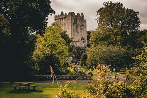 Bawn in CastleparkBawn · 1.2 mi
 Cregg Castle (in ruins)Castle, tower house · 1.3 mi
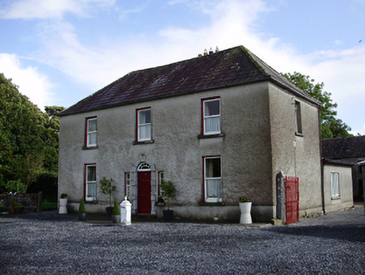 Carheen Househouse · 1.3 mi
 HawthornHawthorn · 5.2 mi
 European ashEuropean ash · 5.2 mi
 Drumharsna CastleHeritage attraction · 5.3 mi
 Scalpeen RockNamed rock · 5.7 mi
 KnockapollboyMountain / peak · 5.8 mi
 Drumacoo Monastic SiteHeritage attraction · 7.5 mi