What is recorded here
Fairy forts are human places misnamed, often by people who would rather not ask what they are. This is one of them: a circular earthwork in Lismahane, about fifty metres across, drawn on old maps and now reduced to a slight rise in farmed ground. What is striking is not mystery but continuation. People lived there, shaped the earth, left it behind, and others kept the shape alive under a new name.
In tillage. Depicted as hachured circular enclosure (diam. c. 50m) on 1842, 1903 and 1938 OS 6-inch maps. Levelled; slight rise visible in area of site. Hartnett (1939, 236) recorded two banks with intervening fosse to S; only traces of fosse and outer bank elsewhere. Crop mark in aerial photograph (CASAP) clearly supports evidence for outer bank. Possible Man-made underground passage (CO061-123002-) in interior.
The above description is derived from the published 'Archaeological Inventory of County Cork. Volume 3: Mid Cork' (Dublin: Stationery Office, 1997). In certain instances the entries have been revised and updated in the light of recent research.
Date of upload/revision: 14 January 2009
The monument record does not grant public access. Check the route and ask the landowner before entering private land.
- What survives
- Recorded monument
Places near here
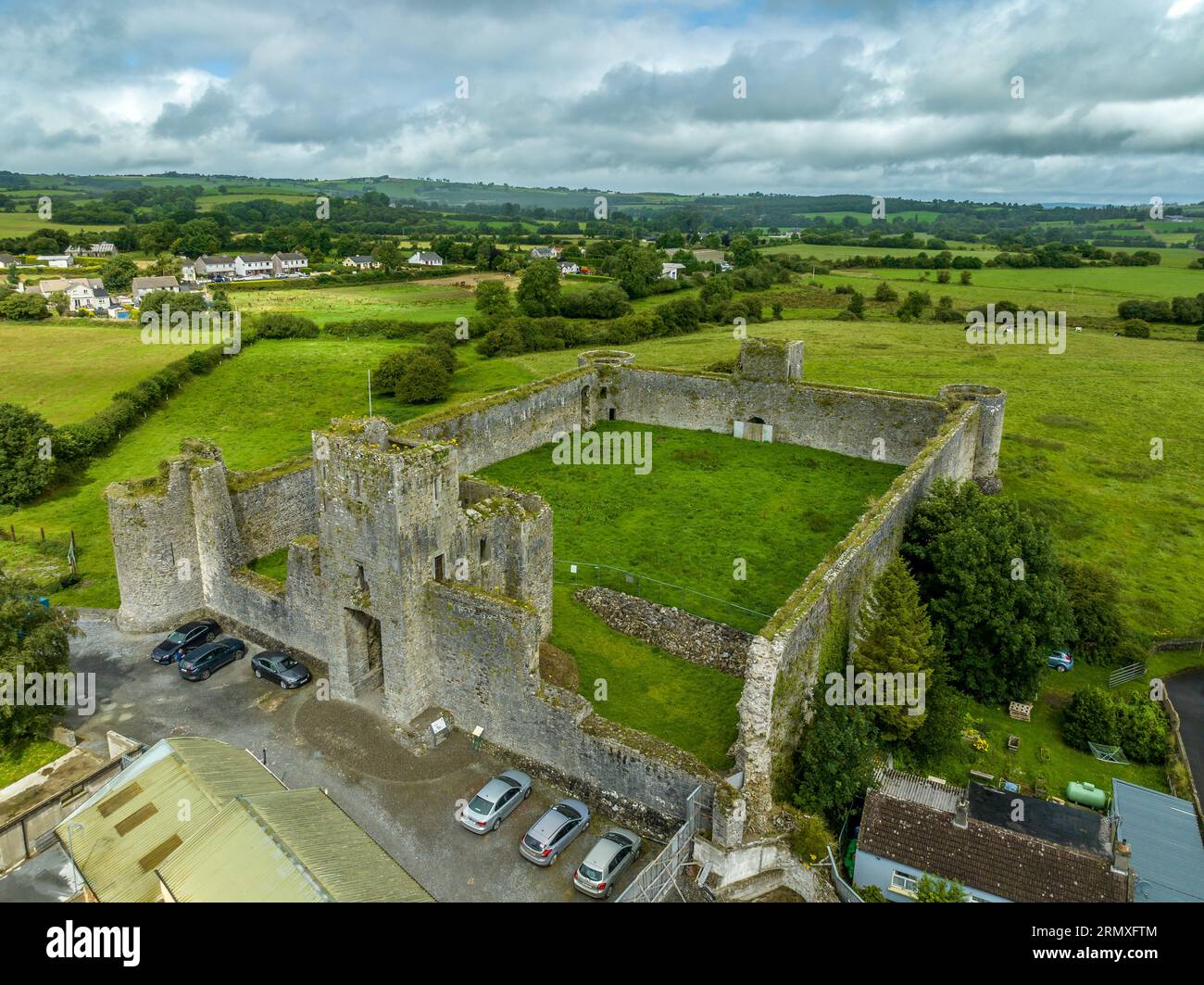 Enclosure in AgharinaghEnclosure · 487 yd
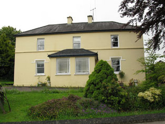 Greenhall Acresfarm house · 871 yd
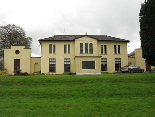 Meeshal Housecountry house · 963 yd
 Anomalous stone group in AgharinaghAnomalous stone group · 988 yd
 Carrignamuck Tower HouseCastle · 1315 yd
 Oldcastle WoodWood · 2.1 mi
 Coachford Greenway (End)Visitor information · 2.1 mi
 Farran WoodWood · 2.6 mi
 Bob AdamsMemorial · 2.7 mi
 Ballyanly Inniscarra Slí na SláinteWalking route · 2.7 mi
 Old Mansion HoCastle, Anglo-Norman masonry castle · 2.8 mi
 Sunday's WellSpring · 3.8 mi