What is recorded here
Half a metre of scarped hill and a two-metre earthen bank still mark the circle at Lismagunshin, though fields and roads have taken most of it. Inside that lost ring, six shallow pits held hearth fires, and one pit returned a blue glass bead beside charcoal dated to 1190. A small fort, then, not a fairy tale: someone lived there, warmed themselves there, and left a circle the land has kept pretending to forget.
Situated towards the NW end of a small NW-SE drumlin ridge. This rath, or rath (MO019-007----) c. 60m to the SE is represented on McCrea’s Map of County Monaghan (1793), and it is also represented a small circular embanked enclosure (ext. diam. c. 25m) on the 1834 edition of the OS 6-inch map where it is described in gothic script as a ‘fort’. It was described in 1968 as surviving only NW of a NE-SW field bank as a scarp (Wth 1.1m; H 1m) (SMR file).
The rath was excavated (05E0375; 05E785) as part of the N2 Clontibret – Castleblayney road re-alignment. No fosse was identified but the hill had been scarped into a circular platform (diam. c. 30m; H c. 0.5m) and a portion of the earth and stone bank (Wth 2m; H 0.6m) was preserved where it underlay the modern field bank. There may have been a ramp entrance at SE. Six small pits (dims 0.7m x 0.65m; T 0.07m to 1.3m x 0.77m; T 0.15m) in the interior are probably contemporary and are interpreted for the most part as hearth pits. A blue glass bead was recovered from one of the pits and a charcoal sample produced a C14 date of 1190 +- 45 BP. (Sutton 2005, 5-10, XXVI; 2008; Coughlin 2008)
The above description is derived from the published 'Archaeological Inventory of County Monaghan' (Dublin: Stationery Office, 1986). In certain instances the entries have been revised and updated in the light of recent research.
Revised by: Michael Moore
Date of revision: 22 June 2018
The monument record does not grant public access. Check the route and ask the landowner before entering private land.
- What survives
- Recorded monument
Places near here
 Not iindicatedHut site · 391 yd
 Michael MooreFairy fort / earthen ringfort · 1007 yd
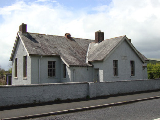 Annyalla National Schoolschool · 1515 yd
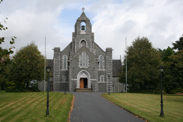 Saint Michael's Catholic Churchchurch/chapel · 1644 yd
 Battle of ClontibretBattlefield · 3.2 mi
 Monaghan WayWalking route · 3.6 mi
 Fort HillWood · 3.7 mi
 John Francis GreenMemorial · 4.0 mi
 The CrescentMemorial · 4.1 mi
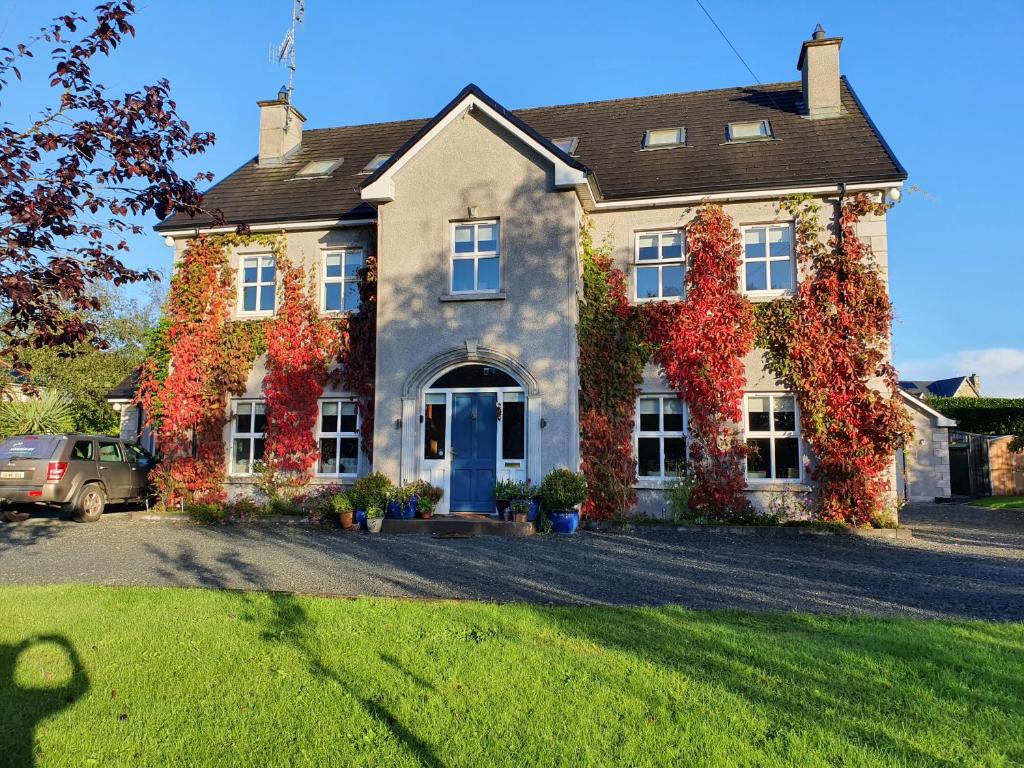 Knockamaddy Big WoodWood · 4.5 mi
 Bawn in OnomyBawn · 4.6 mi
 Blaney CastleCastle · 4.6 mi