What is recorded here
Situated just below the summit of a hill on a N-facing slope of rising ground with two barrows (TN008-021, TN008-022) visible to the NE at the base of the hill. A raised circular area (diam. 40m E-W) enclosed by an earth and stone bank (Wth 3m; int. H 0.5m; ext. H 3-4m) and external fosse (Wth 3-4m) with a causewayed entrance (Wth 4m) at S. The enclosing bank and external fosse are destroyed at N with field clearance debris dumped along the bank from W to N. There is slight evidence of a possible second bank at W only. The interior of the site is heavily overgrown making examination difficult. The N sector of the site is raised to counteract the natural slope of the ground.
The above description is derived from 'The Archaeological Inventory of County Tipperary. Vol. 1 - North Tipperary' compiled by Jean Farrelly and Caimin O'Brien (Dublin: Stationery Office, 2002). In certain instances the entries have been revised and updated in the light of recent research.
Date of upload/revision: 22 September 2008
The monument record does not grant public access. Check the route and ask the landowner before entering private land.
- What survives
- Recorded monument
Places near here
 Enclosure in LismacroryEnclosure · 294 yd
 BarrowBarrow, mound barrow · 391 yd
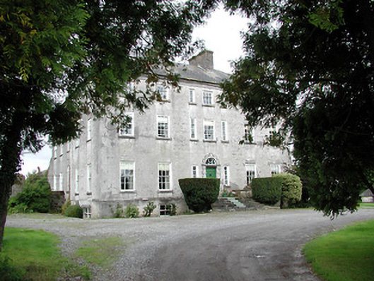 Lisbryan Housecountry house · 1488 yd
 South ParkCastle, unclassified · 1.1 mi
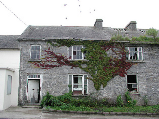 Historic buildingOfficially recorded historic building · 1.4 mi
 Clohaskin Castle (in Ruins)Castle, hall-house · 2.0 mi
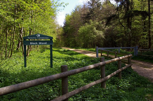 Black WoodForest · 4.8 mi
 Borris WoodWood · 4.9 mi
 Waterfall PointViewpoint · 6.2 mi
 The Great Telescope 'Leviathan'Heritage attraction · 6.3 mi
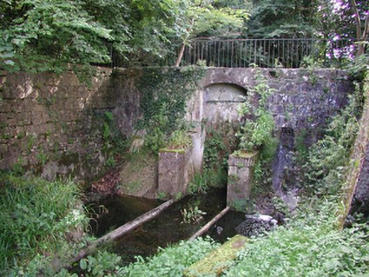 Birr Castlemachinery · 6.3 mi
 James Franklin FullerMemorial · 6.5 mi