What is recorded here
Fairy fort in Lismacanigan Lower, County Cavan: an earthen ringfort marked only on the 1836 Ordnance Survey, then erased from later maps. It sits on the southwest slope of a drumlin ridge, yet no longer shows itself at ground level. Perhaps the earth simply closed its hand around the fort, keeping what it no longer wished to share.
Marked 'Fort' on OS 1836 ed. Not marked on subsequent eds. Situated on SW slope of a drumlin ridge. Not visible at ground level.
The above description is derived from the published 'Archaeological Inventory of County Cavan' (Dublin: Stationery Office, 1995). In certain instances the entries have been revised and updated in the light of recent research.
Date of upload/revision: 22 December 2008
A fairy fort or earthen ringfort in Lismacanigan Lower is a likely early-medieval circular earthwork, probably used as a defensive or agricultural settlement. Though no longer visible at ground level, its marking on the 1836 Ordnance Survey suggests local recognition of its form, and such sites are often associated in folklore with the supernatural or fairy realms.
The monument record does not grant public access. Check the route and ask the landowner before entering private land.
- What survives
- Recorded monument
Places near here
 Mass-rock in Dungummin LowerMass-rock · 1279 yd
 CastleCastle, unclassified · 1378 yd
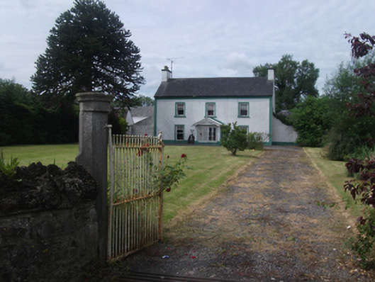 Lisnabrin Housefarm house · 1.1 mi
 Mass-rock in MountnugentMass-rock · 1.2 mi
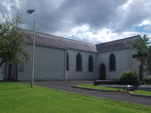 St Brigid's Roman Catholic Churchchurch/chapel · 1.2 mi
 Bob's GroveForest · 2.0 mi
 Crover Old Castle (in Ruins)Castle, tower house · 2.4 mi
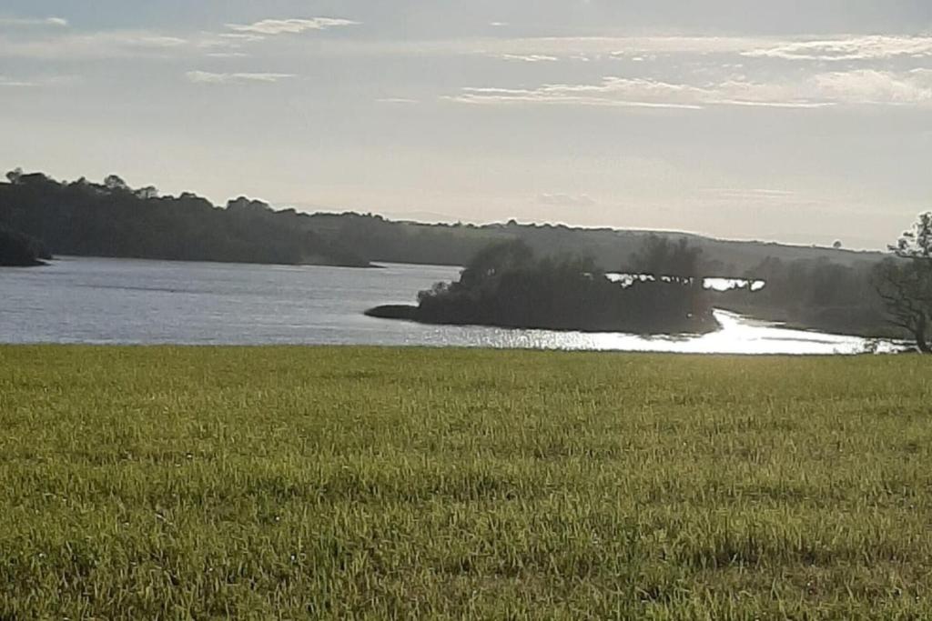 Dinner IslandIslet · 2.4 mi
 Wall IslandIslet · 2.5 mi
 In Loving Memory of Killian CaseyMemorial · 2.5 mi
 Fennor LowerMountain / peak · 3.0 mi
 Rasuddan ForestForest · 3.2 mi