
What is recorded here
Lismacanigan Upper in County Cavan may have held a castle built by Thomas Burton during the Cromwellian Settlement, later owned by the Nugent family. Tradition places it on a low mound, but the earth has taken back every stone, leaving only a absent shape in the landscape.
Possibly built during the period of the Cromwellian Settlement by Thomas Burton. A castle is marked at Lismacanigan and Cornamucklagh (6) on the Down Survey map (1686-8) and was then in the ownership of Sir Richard and Christopher Nugent. Local tradition recalls that it was located on a low mound (Davies 1948, 106). There are no visible remains at ground level. The precise location of this feature is not known. For the Down Survey map see this web-page accessed on 12/04/2016. http://downsurvey.tcd.ie/down-survey-maps.php#bm=Castlerahan&c=Cavan
The above description is derived from the published 'Archaeological Inventory of County Cavan' (Dublin: Stationery Office, 1995). In certain instances the entries have been revised and updated in the light of recent research.
Date of revision: 22 December 2008
Possibly built during the Cromwellian Settlement by Thomas Burton, the castle at Lismacanigan Upper was recorded on the 1686 Down Survey map as being held by Sir Richard and C. Its inclusion in the Down Survey highlights its significance in the post-Restoration land redistribution in Ireland.
This remains an important historical record, but the official description says the monument is no longer visible or has been destroyed. The monument record does not grant public access. Check the route and ask the landowner before entering private land.
- What survives
- No visible remains or recorded as destroyed
Places near here
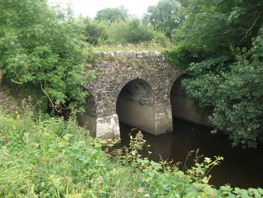 Kilnacrott Bridgebridge · 1214 yd
 Mass-rock in MountnugentMass-rock · 1378 yd
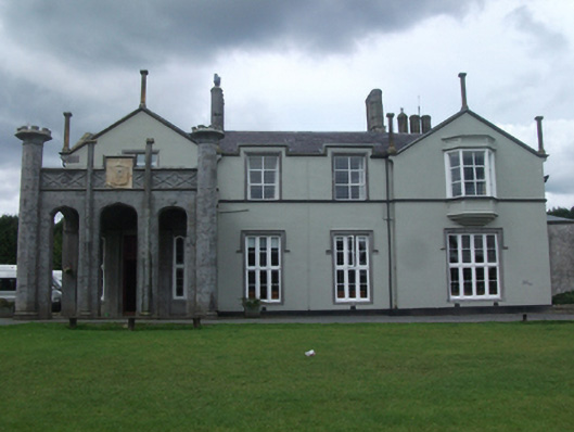 Kilnacrott House(The Cavan Centre)country house · 1479 yd
 Fairy fort / earthen ringfort in Garrysallagh (o'reilly)Fairy fort / earthen ringfort · 1.4 mi
 In Loving Memory of Killian CaseyMemorial · 2.3 mi
 Crover Old Castle (in Ruins)Castle, tower house · 2.3 mi
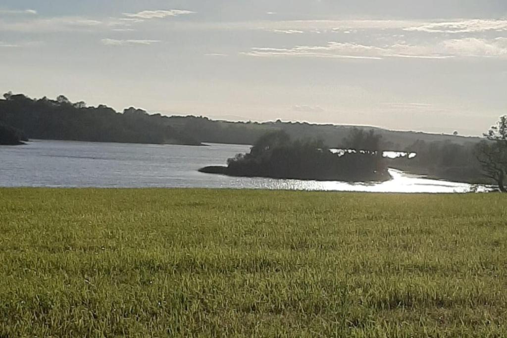 Dinner IslandIslet · 2.4 mi
 Bob's GroveForest · 2.5 mi
 Wall IslandIslet · 2.6 mi
 Rasuddan ForestForest · 2.7 mi
 Saint Joseph's Catholic CemeteryMemorial · 2.8 mi
 CarnMountain / peak · 2.8 mi
Other information
Photo: Credit not shown in the picture search · Rights wording not checked; contact us if this picture should be removed