What is recorded here
No gate remains on the Lislongfield drumlin, only a rounded earthen bank and a forgotten entrance swallowed by hedge. The missing doorway suggests the fort was built to be entered, not watched, and the land later erased the proof.
Located on top of a drumlin. This is a circular grass-covered area (diam. 39m NE-SW; 37m NW-SE) defined by an earthen bank (at E: Wth of base 3.1m; int. H 0.5m; ext. H 1.9m) incorporated into a field bank and hedge, with traces of an outer fosse visible as a band of lush vegetation (Wth 3.1m) ENE-ESE. There is no identifiable original entrance, but the hedge has been removed and the scarp lowered SE-SW.
The above description is derived from the published 'Archaeological Inventory of County Monaghan' (Dublin: Stationery Office, 1986). In certain instances the entries have been revised and updated in the light of recent research.
Revised by: Michael Moore
Date of revision: 8 May 2018
This remains an important historical record, but the official description says the monument is no longer visible or has been destroyed. The monument record does not grant public access. Check the route and ask the landowner before entering private land.
- What survives
- No visible remains or recorded as destroyed
Places near here
 Enclosure in Drumgramph (dartree By; Aghabog Par.)Enclosure · 832 yd
 Creeran fortFairy fort / earthen ringfort · 1235 yd
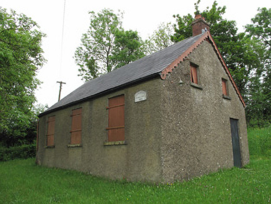 Corragarry Orange HallOrange Hall · 1750 yd
 Old Church (in Ruins)Church · 1.2 mi
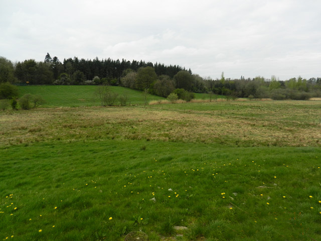 Carn WoodForest · 1.8 mi
 European YewEuropean Yew · 2.7 mi
 Tomb HillMountain / peak · 2.9 mi
 BarraghMountain / peak · 3.0 mi
 Saint John's WellSpring · 3.4 mi
 Bawn in DrumsheilBawn · 4.4 mi
 Roosky Castle (Site of)Castle, ringwork · 4.6 mi
 Jaundice WellSpring · 5.5 mi