What is recorded here
Fairy fort in Lisleecourt, County Cork: an earthen ringfort on a steep north-facing slope with wide views northeast and northwest. It appeared as a circular enclosure on the 1842 Ordnance Survey map, then disappeared under levelling until no trace remained. People may have lived there, marked territory, or simply shaped the hill for visibility; the land kept the shape long enough to be drawn, then took it back.
In pasture, on steep N-facing slope, extensive view to NE and NW. Marked as circular enclosure on OS 6-inch map (1842). Levelled; no visible surface trace.
The above description is derived from the published 'Archaeological Inventory of County Cork. Volume 1: West Cork' (Dublin: Stationery Office, 1992). In certain instances the entries have been revised and updated in the light of recent research.
Date of upload/revision: 14 January 2009
The monument record does not grant public access. Check the route and ask the landowner before entering private land.
- What survives
- Recorded monument
Places near here
 Hut site in KnockanemeeleenHut site · 476 yd
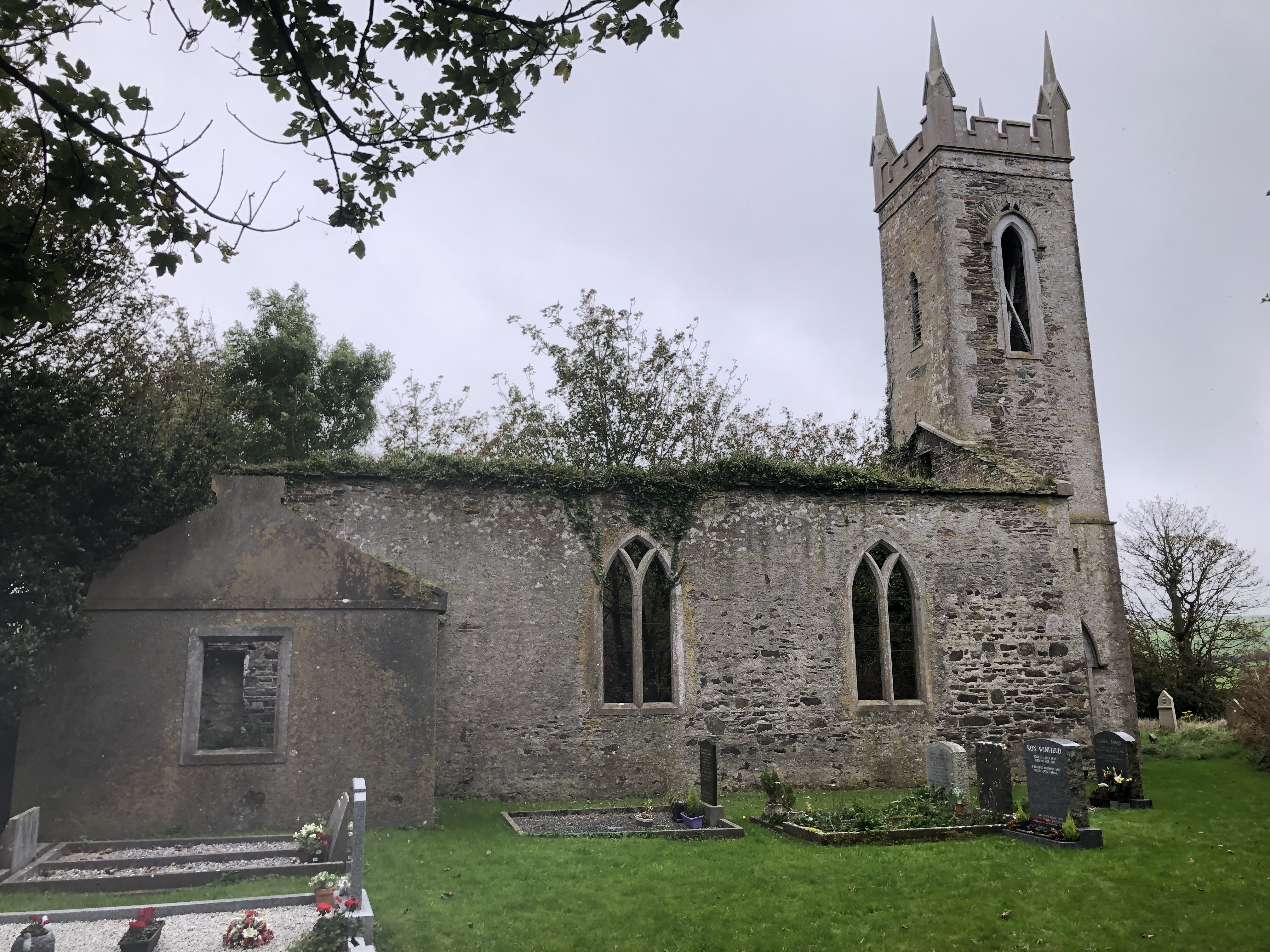 Lislee Court (Site of)Castle, unclassified · 806 yd
 HDS walk Coolim CliffsHeritage attraction · 896 yd
 Grave YardGraveyard · 1032 yd
 Church in LisleetempleChurch · 1051 yd
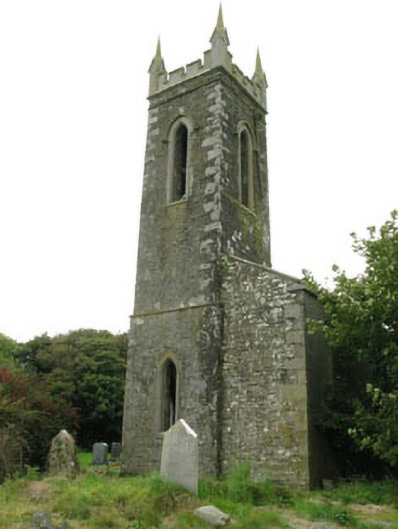 church/chapelchurch/chapel · 1055 yd
 Blind StrandBeach / strand · 1134 yd
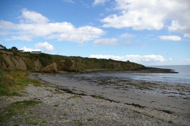 Broad StrandBeach / strand · 1613 yd
 Barry's PointHeadland · 1.2 mi
 Courtmacsherry Bay ViewViewpoint · 1.5 mi
 Courtmacsherry LoopWalking route · 1.9 mi
 War MemorialMemorial · 1.9 mi