What is recorded here
Fairy fort in Lisleecourt, County Cork: a circular earthwork on a steep north-facing break, looking over Broadstrand Bay. It appeared on the 1842 Ordnance Survey map, then disappeared under levelling, leaving no visible trace. Perhaps people walked its ridge at dawn, reading the sea and sky before the land was taken for fields.
On break in steep N-facing slope, with extensive view over Broadstrand Bay and to NW. Marked as circular enclosure on OS 6-inch map (1842). Levelled; no visible surface trace.
The above description is derived from the published 'Archaeological Inventory of County Cork. Volume 1: West Cork' (Dublin: Stationery Office, 1992). In certain instances the entries have been revised and updated in the light of recent research.
Date of upload/revision: 14 January 2009
The monument record does not grant public access. Check the route and ask the landowner before entering private land.
- What survives
- Recorded monument
Places near here
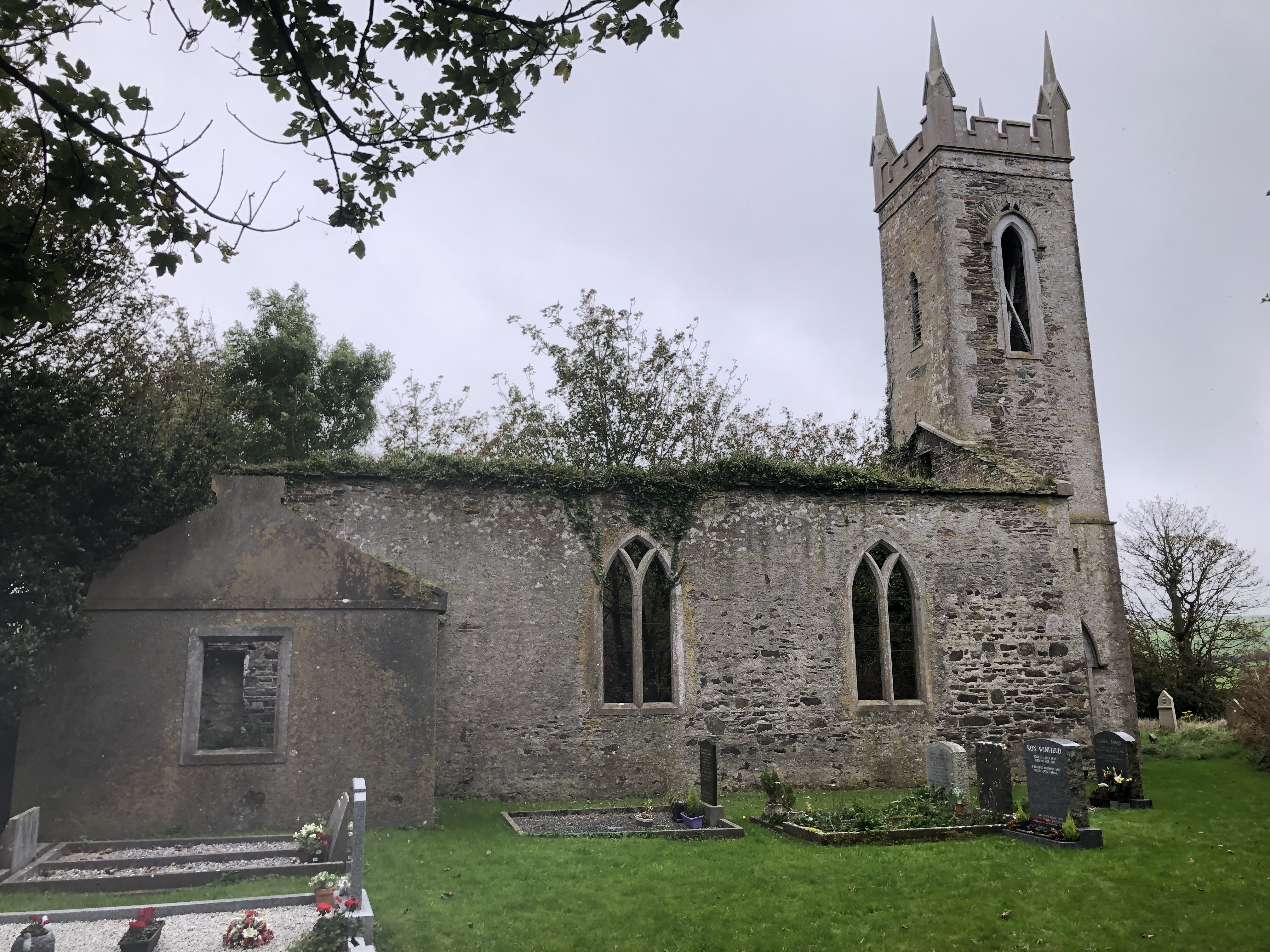 Lislee Court (Site of)Castle, unclassified · 329 yd
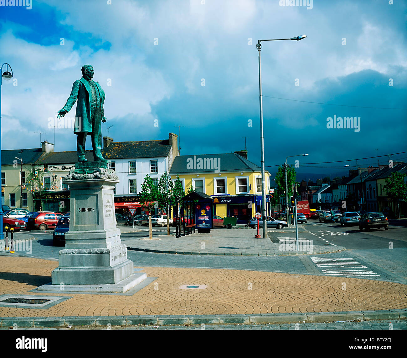 Pat Keoghane StatueMonument · 364 yd
 Grave YardGraveyard · 550 yd
 Church in LisleetempleChurch · 558 yd
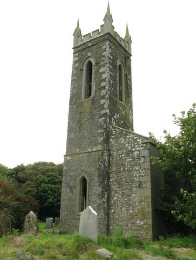 church/chapelchurch/chapel · 562 yd
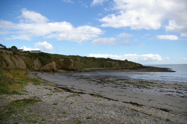 Broad StrandBeach / strand · 765 yd
 HDS walk Coolim CliffsHeritage attraction · 797 yd
 Blind StrandBeach / strand · 816 yd
 Barry's PointHeadland · 1.1 mi
 Courtmacsherry Bay ViewViewpoint · 1.3 mi
 Courtmacsherry LoopWalking route · 1.4 mi
 Chilean myrtleChilean myrtle · 1.4 mi