What is recorded here
Fairy fort in Lislea, County Cavan: a broad oval of raised earth, roughly forty-three metres long and thirty-five wide, ringed by a bank now eaten into field boundaries and lane edges. The fort still holds its shape beneath grass and traffic, though the entrance has vanished and the outer ditch may have become the laneway that passes it. People called it a fairy fort because it refused to explain itself like an ordinary farmyard; it accepted wonder instead.
Marked 'Fort' on OS 1836 ed. and 'Site of' on 1876 ed. Raised oval area (int. dims. c. 43m NE-SW; c. 35m NW-SE) enclosed by an earthen bank which has been much modified and incorporated into the field boundary from ENE-S-WNW and survives elsewhere as a low scarp. From SSW-WNW a laneway runs outside it, possibly on the site of an external fosse. Original entrance not recognisable.
The above description is derived from the published 'Archaeological Inventory of County Cavan' (Dublin: Stationery Office, 1995). In certain instances the entries have been revised and updated in the light of recent research.
Date of upload/revision: 22 December 2008
The monument record does not grant public access. Check the route and ask the landowner before entering private land.
- What survives
- Recorded monument
Places near here
 CastleCastle, unclassified · 319 yd
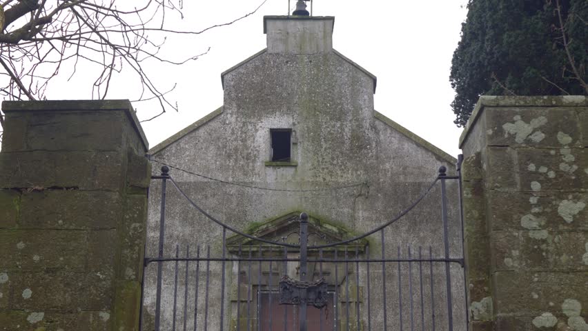 Church in ruinsChurch · 689 yd
 A. Smithhouse · 782 yd
 IndicatedEnclosure · 1587 yd
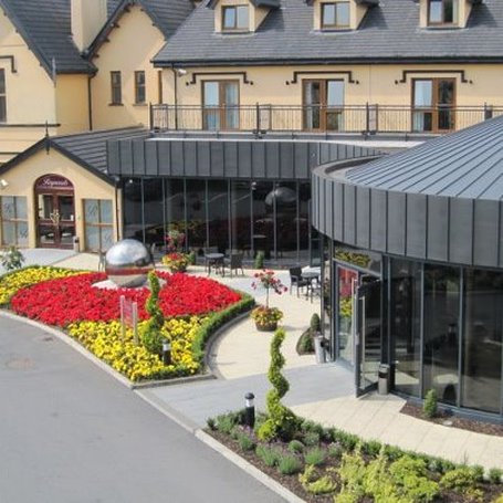 Errigal RingfortArchaeological place · 1595 yd
 Killycramph WoodForest · 1.1 mi
 Cordoagh Glebe Upper ForestForest · 1.5 mi
 Dromore HillMountain / peak · 1.6 mi
 Brown's HillMountain / peak · 1.9 mi
 Graveyard in Drumgoon (clankee By.)Graveyard · 2.3 mi
 Site of Old CastleCastle, unclassified · 2.7 mi
 Giant's GraveArchaeological place · 4.9 mi