What is recorded here
That is the end of the available evidence for this exact request. I can identify the real Liskennett West place, but I should not invent a story around it.
In pasture, on NE-facing hillside. There is a coniferous wood immediately W of site. Circular area (diam. c. 20m) enclosed by earthen bank (ext. H 1.05m). Most of enclosing element and all of interior are covered by dense overgrowth. Field boundaries abut enclosure at SE and W.
Compiled by: Denis Power
Date of upload: 26 August 2011
The monument record does not grant public access. Check the route and ask the landowner before entering private land.
- What survives
- Recorded monument
Places near here
 Lissyfine - Hachured (1924).Fairy fort / stone ringfort · 742 yd
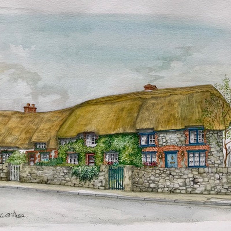 Toberanearla (1924).Holy well · 1228 yd
 Abbey (in ruins) (1924).Religious house, unclassified · 1408 yd
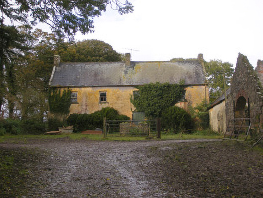 Dollas Housefarm house · 1.1 mi
 Castle (in ruins)Castle, unclassified · 1.4 mi
 Kilmacow Ho.Bawn · 1.4 mi
 KnockfeerinaMountain / peak · 1.8 mi
 Kinnoor WellSpring · 2.3 mi
 Famine stoneMemorial · 2.4 mi
 Dysert AenghusaHeritage attraction · 3.2 mi
 European ashEuropean ash · 3.4 mi
 Biodiversity in the Maigue CatchmentVisitor information · 3.6 mi