What is recorded here
Mortons and fairy forts still populate the landscape, tempting belief that the unusual has no explanation. The fort at Lisinisky is a circular embanked enclosure, not a passing fancy, and it stands at the crest of the drumlin above Lough Bane. Its bank and entrance are plainly shaped for human use, yet the fairy name remains because ordinary facts do not always satisfy a startled mind.
Located at the crest of the S and SE-facing slopes of a drumlin, and overlooking Lough Bane, the W shore of which is c. 180m to the SE. A circular embanked enclosure (ext. diam. c. 45m) is depicted on the 1834 edition of the OS 6-inch map where it is described in gothic lettering as a ‘fort’, and it is depicted a circular hachured feature on the 1907 edition. This is a circular overgrown area (diam. c. 28m) surrounded by an earthen bank with traces of external fosse. The entrance is at SE.
The above description is derived from the published 'Archaeological Inventory of County Monaghan' (Dublin: Stationery Office, 1986). In certain instances the entries have been revised and updated in the light of recent research.
Revised by: Michael Moore
Date of revision: 30 January 2018
The monument record does not grant public access. Check the route and ask the landowner before entering private land.
- What survives
- Recorded monument
Places near here
 Lisinisky fortFairy fort / earthen ringfort · 542 yd
 Man-made underground passage in CorracharraMan-made underground passage · 622 yd
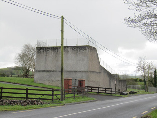 handball alleyhandball alley · 634 yd
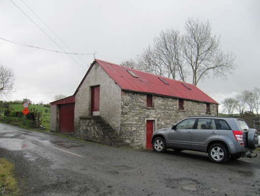 outbuildingoutbuilding · 647 yd
 Senator Billy Fox 1939 - 1974Memorial · 1.3 mi
 CarrickcreenyMountain / peak · 1.5 mi
 Gull IslandIslet · 2.0 mi
 Kilmacaran IslandIslet · 2.1 mi
 Sillan LakeshoreWood · 2.2 mi
 Bawn in LisdrumskeaBawn · 2.5 mi
 Annsfort MillsWood · 3.2 mi
 AghagashlanMountain / peak · 3.9 mi