What is recorded here
Fairy forts are not fairy forts. They are human ringforts, misnamed later. This is one of them: a circular earth bank in pasture on a south-facing slope in County Cork, about twenty-six metres across, with a gap to the south. The name is a story people invented after they stopped understanding the shape. The bank is the fact. The gap is the door. The field crossed through it is the forgetfulness.
In pasture, on S-facing slope, below crest of hill. Circular area (26m E-W; 25m N-S) enclosed by earthen bank (H 1m). Gap in bank to S. Field boundary running NW-SE crosses interior to SW; levelled beyond enclosure.
The above description is derived from the published 'Archaeological Inventory of County Cork. Volume 2: East and South Cork' (Dublin: Stationery Office, 1994). In certain instances the entries have been revised and updated in the light of recent research.
Date of upload/revision: 14 January 2009
The monument record does not grant public access. Check the route and ask the landowner before entering private land.
- What survives
- Recorded monument
Places near here
 Grave Yard (Disused)Graveyard · 1252 yd
 Church (in Ruins)Church · 1266 yd
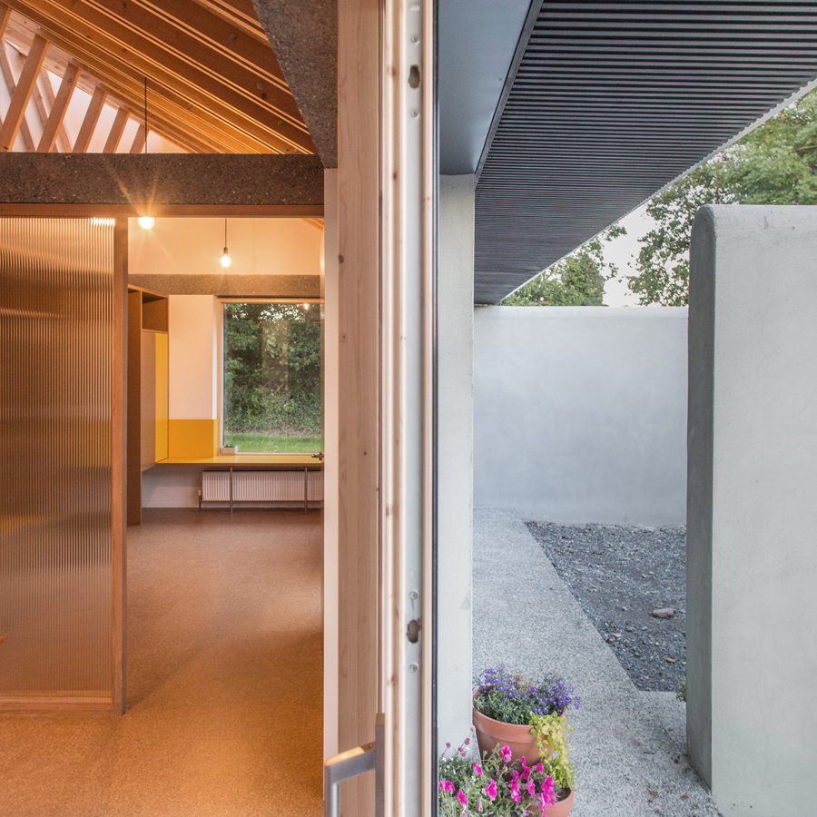 Enclosure in Knockraha EastEnclosure · 1387 yd
 Leamlara Castle (in Ruins)Castle, tower house · 1.5 mi
 Aghnahan Bridgebridge · 1.6 mi
 Gleeson MemorialMemorial · 1.7 mi
 Moanbaun ForestForest · 2.2 mi
 Carberrytown WoodWood · 3.3 mi
 Castle (Site of)Castle, unclassified · 3.6 mi
 Devonshire's HillMountain / peak · 4.1 mi
 Harper's IslandIslet · 4.3 mi
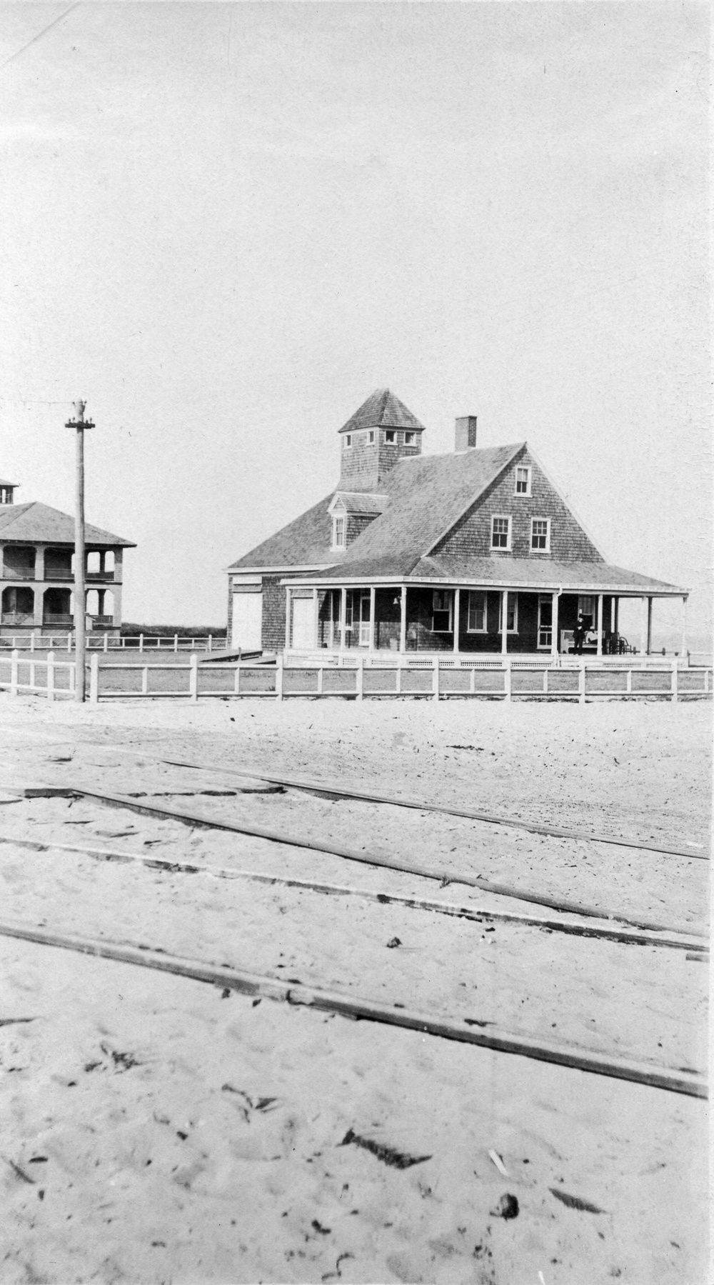 Old coast guard station ruinRuins · 6.6 mi