What is recorded here
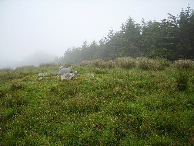
Fairy fort in Lisheennacreagh, County Cork: a 48.8 m earthen ring on an east-facing slope, with a 3.4 m opening toward the south-east. The bank stands 3.25 m high, a shallow ditch runs outside it, and the inner ground rises on the east to level the tilted field. People may have kept livestock there, marked territory, or gathered at feast time before the fort became a fairy name.
In pasture, on ESE-facing slope. Circular area (45.8m N-S; 48.8m E-W) enclosed by earthen bank (H 3.25m); external fosse (D 1.8m) W->S. Break in bank (Wth 3.4m) to SSE. Interior raised on E side to compensate for hill slope.
The above description is derived from the published 'Archaeological Inventory of County Cork. Volume 1: West Cork' (Dublin: Stationery Office, 1992). In certain instances the entries have been revised and updated in the light of recent research.
Date of upload/revision: 14 January 2009
The monument record does not grant public access. Check the route and ask the landowner before entering private land.
- What survives
- Recorded monument
Places near here
 farm housefarm house · 1280 yd
 IndicatedFairy fort / earthen ringfort · 1356 yd
 Parknakilla Childrens Burial GdBurial ground · 1573 yd
 Derrylahard EastMountain / peak · 1.5 mi
 Barnageehy Loop WalkWalking route · 1.8 mi
 Rathruane Bridgebridge · 1.8 mi
 KilbreaghMountain / peak · 1.9 mi
 Danno O’Mahony statueMemorial · 2.3 mi
 Ballydehob's 3-Arch Road BridgeVisitor information · 2.4 mi
 Ballydehob Railway StationVisitor information · 2.5 mi
 Mannion's Island (Small)Islet · 3.2 mi
 Mannion's Island (Large)Islet · 3.3 mi