What is recorded here
That is the name in the facts. Lisgoold North, County Cork, Ireland. A ringfort, also called a rath. It is an earthen bank, roughly circular, about 38 metres north to south. The bank stands 1.2 metres high and has gaps to the east-northeast and south. The ground inside is raised 1.4 metres on the south side, shaping the circle on the sloping land. It sits in pasture on a south-facing slope. People may have lived there, excluded others, marked territory or simply repeated a local form of building. The fairy name does not weaken those possibilities. It adds one more layer: the place became large enough in memory to leave the human world for a time.
In pasture, on S-facing slope. Roughly circular area (38m N-S) enclosed by overgrown earthen bank (H 1.2m). Gap in bank to ENE and S. Interior raised (H 1.4m) on S side to compensate for hillslope.
The above description is derived from the published 'Archaeological Inventory of County Cork. Volume 2: East and South Cork' (Dublin: Stationery Office, 1994). In certain instances the entries have been revised and updated in the light of recent research.
Date of upload/revision: 14 January 2009
The monument record does not grant public access. Check the route and ask the landowner before entering private land.
- What survives
- Recorded monument
Places near here
 bridgebridge · 338 yd
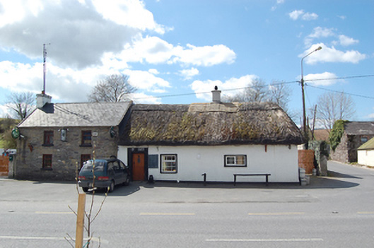 The Thatchhouse · 340 yd
 Man-made underground passage in Corbally South (barrymore By., Lisgoold Par.)Man-made underground passage · 1105 yd
 IndicatedFairy fort / earthen ringfort · 1732 yd
 Court (site of )Castle, unclassified · 1.8 mi
 Leamlara Castle (in Ruins)Castle, tower house · 2.2 mi
 Curragh WoodsWood · 2.3 mi
 Graveyard in Broomfield WestGraveyard · 3.4 mi
 Moanbaun ForestForest · 3.7 mi
 Midleton IRA MonumentMemorial · 4.5 mi
 Devonshire's HillMountain / peak · 4.5 mi
 Jameson Distillery MidletonHeritage attraction · 4.8 mi