What is recorded here
On a slight rise in an undulating landscape. Grass and scrub-covered D-shaped area (dims 27m N-S; 23m E-W) defined by a scarp (H 2m), but truncated by an ENE-WSW field wall at S and the perimeter is incorporated into a field bank N-E. Half of a circular hut site (LE001-002002-) (int. diam. 4.3m; ext. diam. 6.5m) survives S of a silted field drain in the interior, and a rectangular house site (LE001-002003 ) (int. dims 6.4m NW-SE; 4.6m NE-SW; ext. dims 8.4m NW-SE; 7.2m NE-SW) lies c. 20m outside the perimeter at NW.
The above description is derived from 'The Archaeological Inventory of County Leitrim' compiled by Michael J. Moore (Dublin: Stationery Office, 2003). In certain instances the entries have been revised and updated in the light of recent research.
Date of upload: 23 September 2008
A local fairy fort (ringfort/rath); wider significance not recorded.
The monument record does not grant public access. Check the route and ask the landowner before entering private land.
- What survives
- Recorded monument
Places near here
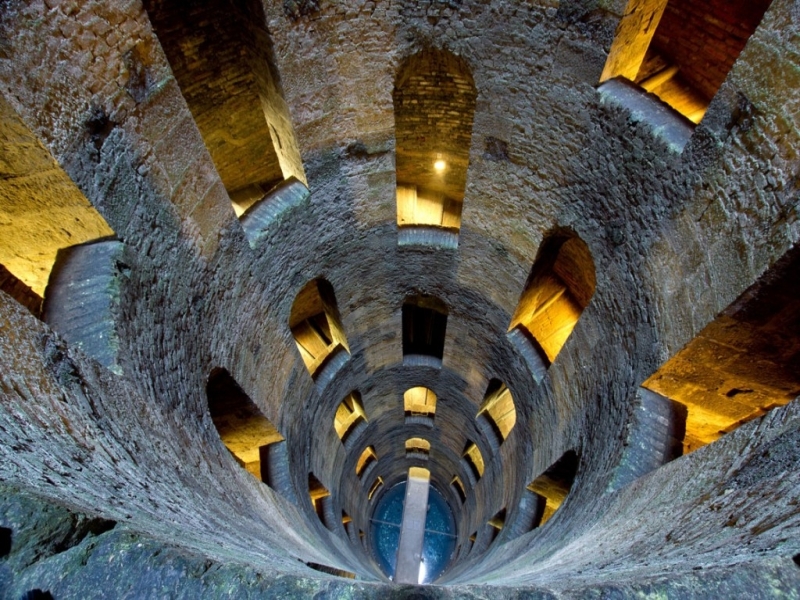 St. Patricks WellHoly well · 57 yd
 IndicatedHoly well · 312 yd
 Giant's GraveArchaeological place · 1.2 mi
 Saint Patrick's Catholic Churchchurch/chapel · 1.6 mi
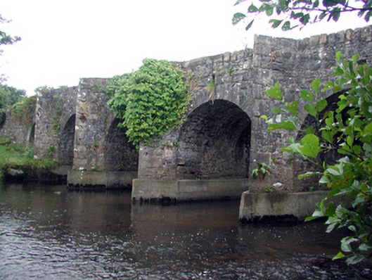 Mary's Bridgebridge · 1.7 mi
 Bawn in DuncarbryBawn · 1.9 mi
 Bundrowes Castle (Site of)Castle, unclassified · 2.3 mi
 Creevykeel Court TombNeolithic court tomb · 2.9 mi
 assassination of Louis Mountbatten, 1st Earl Mountbatten of Burmaassassination · 3.0 mi
 Unbaptised Children MonumentMemorial · 3.3 mi
 Classiebawn WoodsWood · 3.5 mi
 Wild Atlantic Way: Mullaghmore HeadVisitor information · 3.6 mi