What is recorded here
Fairy fort / earthen ringfort in Lisglassan stands as a circular grass-covered area, thirty-eight metres across, defined by an overgrown earthen bank and the remains of an outer fosse. It occupies a slight SE-facing slope in a low-lying landscape, with modern entrances at W, NNE, and NE, though the original may have been that at S, a gap still used by machinery. The bank rises two point six metres externally and dips to eighty-five centimetres internally, while the fosse stretches ESE to W-NNE. This is a ringfort, a rath, where earth was shaped into a boundary and time has since softened the edges.
Situated on a slight SE-facing slope in a low-lying landscape. This is a circular grass-covered area (diam. 38m NE-SW: 38m NW-SE) defined by an overgrown earthen bank (at SW: Wth of base 3.9m; int. H 0.85m; ext. H 2.6m) and the remains of an outer fosse (at SW: Wth of base 2.4m; D 0.4m) ESE-W-NNE. There are modern entrances at W, NNE, and NE but the original may have been that at S (Wth of base 2.2m) which is also utilised by machinery.
The above description is derived from the published 'Archaeological Inventory of County Monaghan' (Dublin: Stationery Office, 1986). In certain instances the entries have been revised and updated in the light of recent research.
Compiled by: Michael Moore
Date of revision: 26 February 2018
The monument record does not grant public access. Check the route and ask the landowner before entering private land.
- What survives
- Recorded monument
Places near here
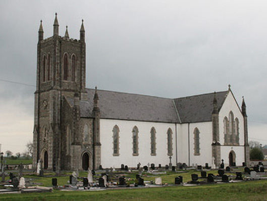 Saint Mary's Catholic Churchchurch/chapel · 493 yd
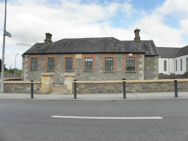 Moys National Schoolschool · 533 yd
 Man-made underground passage in Moy OtraMan-made underground passage · 642 yd
 Mass GardenMass-rock · 671 yd
 Battle of ClontibretBattlefield · 1520 yd
 Castleshane WaterfallWaterfall · 1.5 mi
 Caldwells' WoodWood · 4.2 mi
 Liscarney WoodWood · 4.4 mi
 Monaghan WayWalking route · 5.1 mi
 Bawn in Roosky (monaghan By., Monaghan Par.)Bawn · 5.2 mi
 Rossmore MonumentMemorial · 5.2 mi
 Monaghan County MuseumMuseum · 5.3 mi