What is recorded here
Mortons and others may have built the double-edged ring on the Monaghan ridge, yet the fairies took it back and still circle the grass at midnight. The earthen bank stands four metres high where it survives, marking a boundary humans forgot but the unseen world never lost.
Located on the summit of a NW-SE section of drumlin ridge. This is a subcircular grass and scrub-covered area (dims 39m NNW-SSE; 35m ENE-WSW) defined by an overgrown earthen bank that is largely reduced to an external scarp (at NE: H 4.2m). This is separated by a flat-bottomed fosse from an outer earthen bank, both of which only survive WSW-NNW. The original entrance is probably the widened entrance at SE. The rath is surrounded by farm buildings NW-E-SE.
The above description is derived from the published 'Archaeological Inventory of County Monaghan' (Dublin: Stationery Office, 1986). In certain instances the entries have been revised and updated in the light of recent research.
Revised by: Michael Moore
Date of revision: 19 June 2018
The monument record does not grant public access. Check the route and ask the landowner before entering private land.
- What survives
- Recorded monument
Places near here
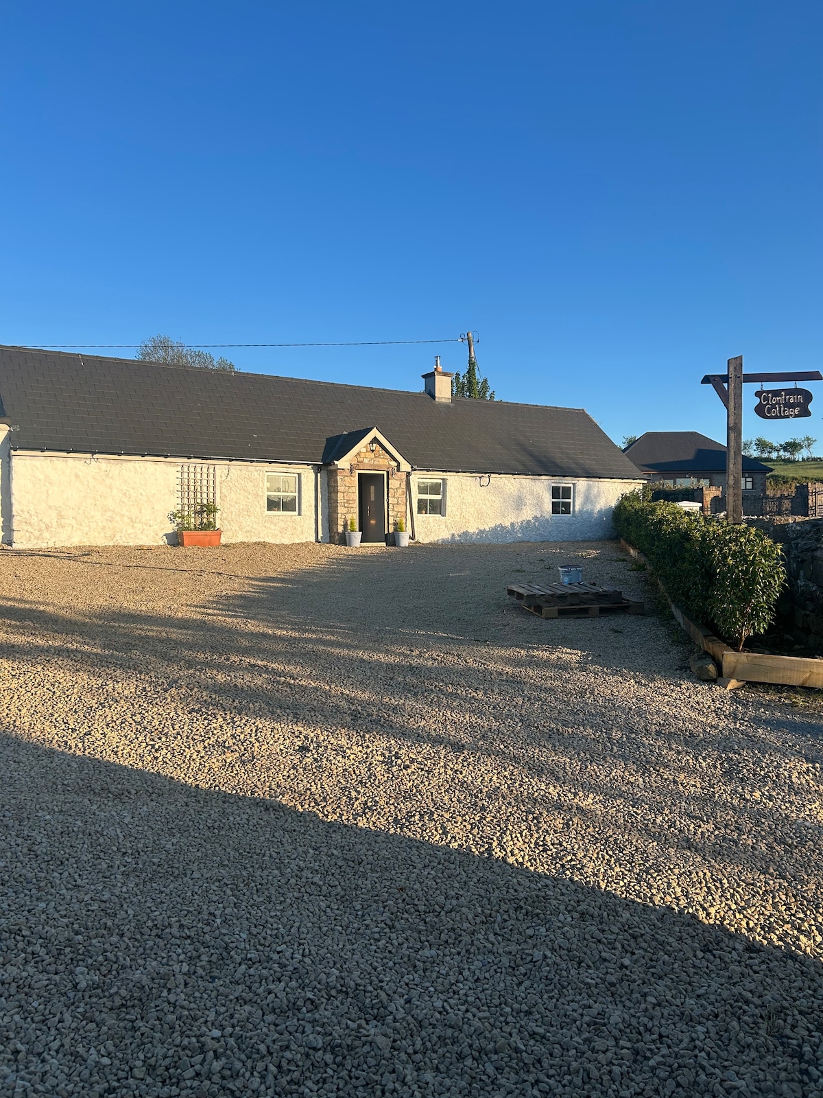 Embanked enclosureFairy fort / earthen ringfort · 782 yd
 Crannog in Cordevlis (cremorne By., Aghamullen Par.)Crannog · 1081 yd
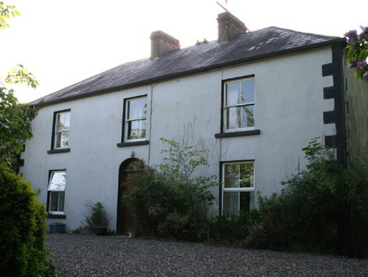 Fairviewhouse · 1.1 mi
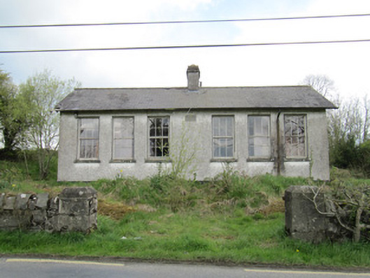 Saint Brigid's National Schoolschool · 1.2 mi
 Ballybay Wetland CentreNature reserve · 1.8 mi
 The Rabbit BurrowWood · 2.3 mi
 LisnaspeenanMountain / peak · 3.1 mi
 Fedd HillMountain / peak · 3.4 mi
 Senator Billy Fox 1939 - 1974Memorial · 6.2 mi
 CastleCastle, unclassified · 6.3 mi
 Gull IslandIslet · 8.7 mi
 Bush IslandIslet · 8.9 mi