What is recorded here
Fairy fort in Lisfinny, County Galway: a subcircular earthen ringfort, 64m east-west and 60m north-south, set in undulating pastureland. Its bank is 2.6m wide, rising 0.8m inside and 2.2m outside; an external fosse 2.3m wide rings it, clipped at the west by a north-south road. A four-metre gap at the east marks the entrance, while a hollow in the northern interior hints at a buried passage. The shape feels made for living, hiding or remembering, even when the names and dates have thinned away.
In undulating pastureland. This subcircular rath (64m E-W; 60m N-S), in fair condition, is defined by a bank (Wth 2.6m; int. H 0.8m; ext. H 2.2m) and external fosse (Wth 2.3m); a N-S running road clips the latter at W.There is an entrance gap (Wth 4m) at E. A possible Man-made underground passage (GA115-047001-), marked by a hollow, is evident in the N sector of the interior.
Compiled by: Galway Archaeological Survey, UCG
Date of upload: 15 January 2018
The monument record does not grant public access. Check the route and ask the landowner before entering private land.
- What survives
- Recorded monument
Places near here
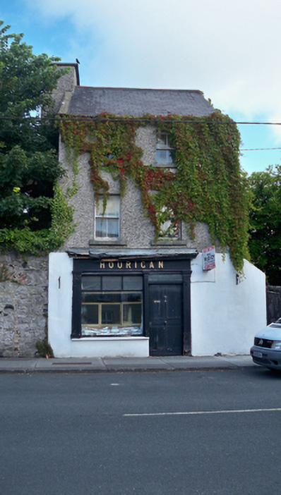 Houriganhouse · 574 yd
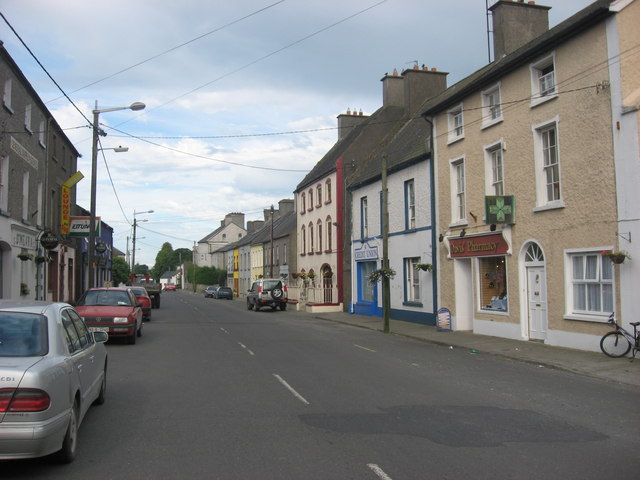 O'Mearahouse · 592 yd
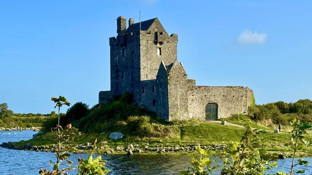 Killenehy FortArchaeological place · 784 yd
 KnockaunnabastyArchaeological place · 1351 yd
 Lismore CastleCastle, tower house · 1.8 mi
 Redmond HillMountain / peak · 2.0 mi
 CastleCastle, unclassified · 2.4 mi
 Killeen's IslandIsland · 2.6 mi
 MeelickVisitor information · 2.6 mi
 Friars IslandIsland · 2.6 mi
 Silver FirSilver Fir · 3.2 mi
 European ashEuropean ash · 3.3 mi