What is recorded here
Fairy fort in Lisdromacrone, County Leitrim: a 25-metre earthen ring on a drumlin, with reeds outside and no visible entrance. It looks less like a ruined wall than a living edge, the kind of place people may have avoided at dusk or used to mark boundary, memory, or warning. The field bank cutting through suggests it has shared the landscape with human traffic for a long time.
Located on top of a drumlin. This is a grass and reed-covered circular area (diam. 25m N-S; 25m E-W) defined by an earthen bank (Wth 5-6m; max. int. H 0.25m; max. ext. H 0.6m at NW) with an external band of reeds (Wth 2-3m). The original entrance is not identified. The perimeter is slightly truncated by a NE-SW field bank at S.
The above description is derived from 'The Archaeological Inventory of County Leitrim' compiled by Michael J. Moore (Dublin: Stationery Office, 2003). In certain instances the entries have been revised and updated in the light of recent research.
Date of upload: 23 September 2008
The monument record does not grant public access. Check the route and ask the landowner before entering private land.
- What survives
- Recorded monument
Places near here
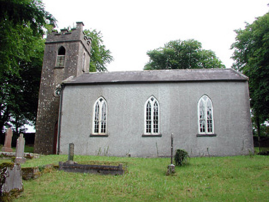 Saint Brigid's Church (Kiltubbrid)church/chapel · 831 yd
 Holy well in KiltubbridHoly well · 1219 yd
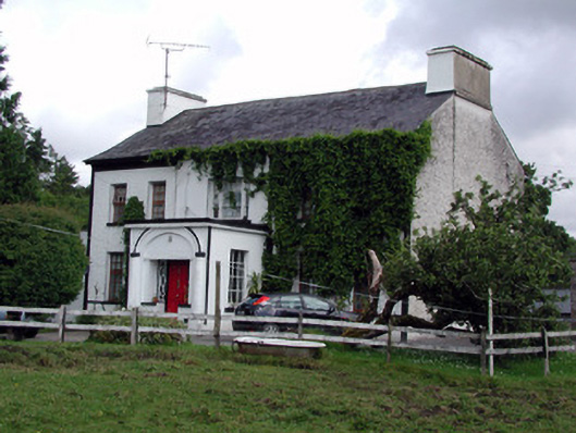 Annadale Housecountry house · 1271 yd
 Rusheen IslandIslet · 1690 yd
 Small IslandIslet · 1.0 mi
 IndicatedEnclosure · 1.0 mi
 Castle JohnCastle · 1.2 mi
 CastleforeCastle, tower house · 2.3 mi
 Rocking StoneNamed rock · 3.4 mi
 Sheemore Ambush MemorialMonument · 3.6 mi
 Sliabh an IarainnMountain / peak · 3.6 mi
 Leabaidh DermotCave · 3.8 mi