What is recorded here
Two earthen rings press into the Galway grass like a whispered secret. The larger northern circle measures forty-two metres across, while the smaller southern ring sits twenty-six metres wide, joined by a narrow gap where one chamber opens into the other. Stone lines still mark the western edge, but overgrowth swallows the rest, suggesting the earth itself wants to keep the shape hidden. A trackway cuts through both rings, proving people still walk the route even when the boundary fades from sight.
On a rise in undulating grassland. A conjoined ringfort in fair condition. The N rath (GA087-163----), subcircular in plan (E-W 42m, N-S 38m), is defined by a stone-lined bank and external fosse best preserved at W; elsewhere overgrowth obscures the enclosing elements. A gap (Wth 2m) at SE could be original. A second gap at S leads to SW rath (GA087-163001-), which is almost circular in plan (E-W 26m, N-S 25m). It is defined by a bank and external fosse which are also obscured by overgrowth. A trackway cuts the raths.
The above description is derived from the published 'Archaeological Inventory of County Galway Vol. II - North Galway'. Compiled by Olive Alcock, Kathy de hÓra and Paul Gosling (Dublin: Stationery Office, 1999). In certain instances the entries have been revised and updated in the light of recent research.
Updated by: Olive Alcock
Date of revised upload: 6 December 2016
The monument record does not grant public access. Check the route and ask the landowner before entering private land.
- What survives
- Recorded monument
Places near here
 Enclosure in Garbally Demesne,loughbownEnclosure · 997 yd
 Urraghry HillMountain / peak · 1291 yd
 West WoodWood · 1411 yd
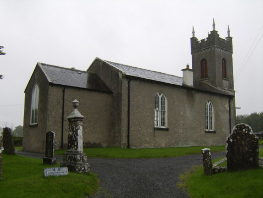 Saint Matthew's Church (Clontuskert)church/chapel · 1469 yd
 Enclosure in UrraghryEnclosure · 1673 yd
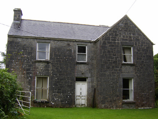 Rosglosshouse · 1.2 mi
 The bloody HollowHeritage attraction · 1.8 mi
 Castle (Site of)Castle, Anglo-Norman masonry castle · 2.0 mi
 Battle of AughrimMajor battlefield · 2.0 mi
 Battle of Aughrim Interpretative CentreMuseum · 2.1 mi
 Ballagh Castle (in Ruins)Castle, unclassified · 2.2 mi
 Oak WoodWood · 2.7 mi