What is recorded here
Fairy forts are not fairy forts at all. They are human ringforts, misnamed because people stopped remembering the humans who built them. Lisbrack was one of those places before ploughs and pasture erased most of the proof.
In pastureland. Depicted as a large oval enclosure with the designation 'Fort' on the 1837 ed. of the OS 6-inch map. The monument has been levelled. All that survives is a low scarp (H 0.3-0.7m) curving from WSW-N-NNE.
Compiled by: Patrick F. O'Donovan
Date of upload: 16 January 2012
The monument record does not grant public access. Check the route and ask the landowner before entering private land.
- What survives
- Recorded monument
Places near here
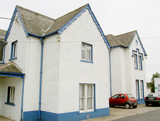 Bishop's Housepresbytery/parochial/curate's house · 85 yd
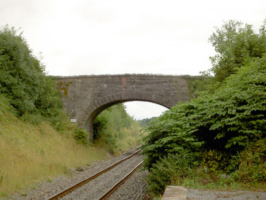 bridgebridge · 146 yd
 Common LimeCommon Lime · 790 yd
 Pedunculate OakPedunculate Oak · 827 yd
 CastleforbesCastle · 1313 yd
 Bawn in Castleforbes DemesneBawn · 1350 yd
 Grave Yard (Disused)Graveyard · 1.3 mi
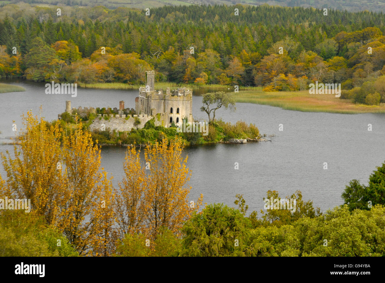 Sallow IslandCrannog · 1.5 mi
 Saint Mel's CathedralCathedral · 3.3 mi
 First World War MemorialMemorial · 3.3 mi
 Graveyard in Curry (ardagh By., Coolamber Ed)Graveyard · 5.6 mi
 Commons North WalkVisitor information · 9.5 mi