What is recorded here
Fairy fort in Lisbane, County Limerick: a 26-metre earth-and-stone ring on a gentle north-facing limestone slope, its shallow outer ditch and uneven bank still marking the circle beneath pasture. People may have lived there, excluded others, or simply followed the shape the land already suggested. The fairies, according to local story, took the ring as their own and will not suffer it broken.
In pasture, on gentle N-facing slope, in area of outcropping limestone. Circular area (24.8m N-S; 26m E-W) enclosed by earth-and-stone bank, with external fosse SSE->SW (Wth 2m; D 0.3m). Bank (int. H 0.7m; ext. H 0.8m), best preserved SW->N, becomes scarp-like N->SE. Interior, under pasture, slopes down to SE.
Compiled by: Denis Power
Date of upload: 26 August 2011
The monument record does not grant public access. Check the route and ask the landowner before entering private land.
- What survives
- Recorded monument
Places near here
 IndicatedFairy fort / earthen ringfort · 70 yd
 Fulacht fia in LisbaneFulacht fia · 482 yd
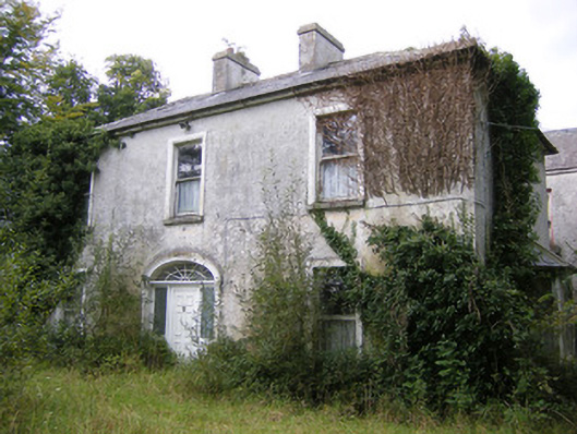 Ballysteen Housecountry house · 483 yd
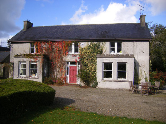 Kilcosgrave Househouse · 1209 yd
 Site of CastleCastle, unclassified · 1217 yd
 CastleCastle, unclassified · 1329 yd
 St. Luke's WellSpring · 2.8 mi
 St. Kieran's WellSpring · 3.3 mi
 Foynes Flying Boat & Maritime MuseumMuseum · 4.8 mi
 Askeaton CastleHeritage attraction · 4.8 mi
 Foynes Island ViewpointViewpoint · 5.0 mi
 Gammarel PointHeadland · 5.1 mi