What is recorded here
Fairy fort in Lisbane, County Limerick: a 27.9m earthen ring with stone-flecked bank, shallow outer fosse and a wide NE causeway, half-hidden in pasture growth. The south arc still stands tallest, as if the field itself leaned away from that side. People may have lived inside, herded past it or simply avoided the broken circle of stones.
In pasture, on gentle S-facing slope. Circular area (diam. 27.9m) enclosed by earth-and-stone bank with an external fosse (Wth 3m; D 0.2m). Bank (int. H 1.2m; ext. H 2.3m), best preserved along S arc, lowers at NE (ext. H 1.3m). Bank and fosse are heavily masked by overgrowth SW->NNW and NE->SE. Fosse, littered with loose stone, is best preserved along N arc where field boundary runs tangentially to its outer edge. Causeway entrance (Wth 6.4m) at NE. Interior, covered by overgrowth along perimeter but with a small clearing at centre, slopes down gently to S.
Compiled by: Denis Power
Date of upload: 26 August 2011
The monument record does not grant public access. Check the route and ask the landowner before entering private land.
- What survives
- Recorded monument
Places near here
 Fulacht fia in LisbaneFulacht fia · 219 yd
 Enclosure in LisbaneEnclosure · 322 yd
 CastleCastle, unclassified · 929 yd
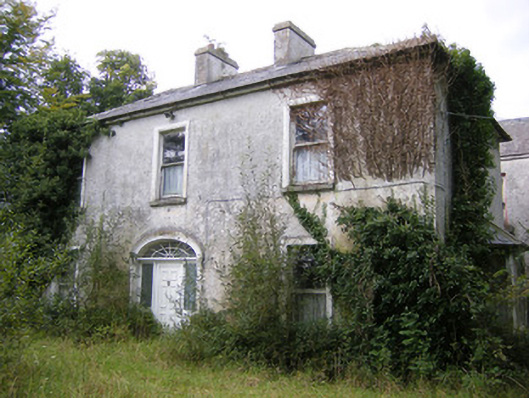 Ballysteen Housecountry house · 1139 yd
 Site of CastleCastle, unclassified · 1176 yd
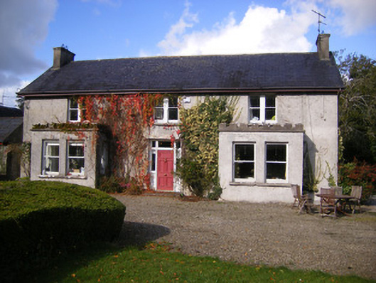 Kilcosgrave Househouse · 1178 yd
 St. Luke's WellSpring · 3.1 mi
 St. Kieran's WellSpring · 3.4 mi
 Askeaton CastleHeritage attraction · 4.5 mi
 Foynes Flying Boat & Maritime MuseumMuseum · 4.6 mi
 Holly IslandIslet · 4.7 mi
 Foynes Island ViewpointViewpoint · 4.8 mi