What is recorded here
Fairy forts are human ringforts misnamed later; this is a real embanked oval in Lisbane pasture, partly levelled but still measurable at twenty-two metres. The field boundary follows its western arc, the earthen bank survives along the north-east, and a shallow fosse marks the eastern edge. Cattle walk through it daily, unaware they are grazing inside an old defensive shape. The fairies took the name because people stopped remembering the hands that built it.
In pasture, on gentle E-facing slope into river valley. Monument, depicted on 1923 OS 6-inch map as embanked oval enclosure incorporated on W arc into field boundary, has been partially levelled and incorporated into pasture field. It is now evident as oval area (22m N-S; 18.6m E-W) defined by curve in field boundary SW->NNE, enclosed by earthen bank NNE->NE (H c. 0.4m; Wth c. 4m), defined by scarped edge NE->SW (H 0.5m; Wth 3.65m), with external fosse (Wth 2.15m; D 0.2m) E->SE. Level interior under pasture.
Compiled by: Denis Power
Date of upload: 26 August 2011
The monument record does not grant public access. Check the route and ask the landowner before entering private land.
- What survives
- Recorded monument
Places near here
 IndicatedFairy fort / earthen ringfort · 163 yd
 Fulacht fia in LisbaneFulacht fia · 401 yd
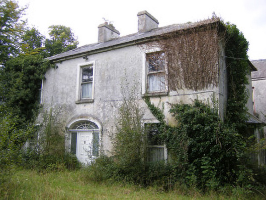 Ballysteen Housecountry house · 580 yd
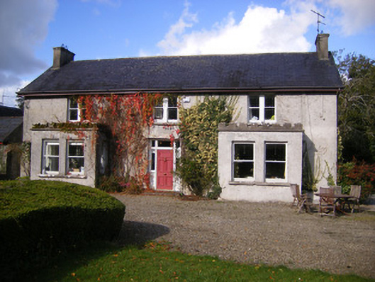 Kilcosgrave Househouse · 1153 yd
 Site of CastleCastle, unclassified · 1160 yd
 CastleCastle, unclassified · 1240 yd
 St. Luke's WellSpring · 2.9 mi
 St. Kieran's WellSpring · 3.3 mi
 Foynes Flying Boat & Maritime MuseumMuseum · 4.7 mi
 Askeaton CastleHeritage attraction · 4.8 mi
 Foynes Island ViewpointViewpoint · 4.9 mi
 Holly IslandIslet · 5.0 mi