What is recorded here
Fairy fort in Lisbane, County Limerick: a circular earthen ringfort about twenty-five metres across, built into the north-west corner of a pasture field on an east-facing slope above a river valley. Most of the embankment has been levelled, but a curved earthen section still marks the field boundary where straight dry-stone walls join it. The shape resists the logic of the surrounding lines, as if the field were drawn around a memory rather than a memory drawn into the field.
In pasture, on E-facing slope into river valley. Monument, depicted on 1923 OS 6-inch map as circular embanked enclosure (diam. c. 25m) incorporated into NW corner of field, has been levelled. However, part of enclosing bank (int. H 0.9m; ext. H 1.2m) has survived W->NE where incorporated into field boundary. This curve in boundary is of earthen construction whereas adjoining sections are linear and of dry-stone construction. Otherwise no trace of enclosure in evident.
Compiled by: Denis Power
Date of upload: 26 August 2011
The monument record does not grant public access. Check the route and ask the landowner before entering private land.
- What survives
- Recorded monument
Places near here
 IndicatedFairy fort / earthen ringfort · 228 yd
 Fulacht fia in LisbaneFulacht fia · 332 yd
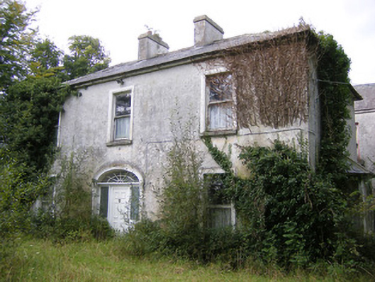 Ballysteen Housecountry house · 649 yd
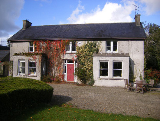 Kilcosgrave Househouse · 1138 yd
 Site of CastleCastle, unclassified · 1144 yd
 CastleCastle, unclassified · 1188 yd
 St. Luke's WellSpring · 2.9 mi
 St. Kieran's WellSpring · 3.4 mi
 Foynes Flying Boat & Maritime MuseumMuseum · 4.7 mi
 Askeaton CastleHeritage attraction · 4.8 mi
 Foynes Island ViewpointViewpoint · 4.9 mi
 Holly IslandIslet · 5.0 mi