What is recorded here
On a slight SW-facing slope in a commanding position with excellent views except to NE. A circular area (int. diam. 22m) defined by a low bank (Wth 1.2m; H 0.4m) with traces of an external fosse (Wth 2m; ext. D 0.3m), recut at S where it forms part of the fosse of a field boundary. The interior is overgrown and hummocky which may be due to quarrying. A square enclosure (11m x 11m) (KK018-012001-) is attached to the ringfort at E, separated by the fosse.
Compiled by: Victor Buckley and Mary Tunney
Date of upload: 24 April 2013
The monument record does not grant public access. Check the route and ask the landowner before entering private land.
- What survives
- Recorded monument
Places near here
 Enclosure in LisballyfrootEnclosure · 26 yd
 IndicatedEnclosure · 449 yd
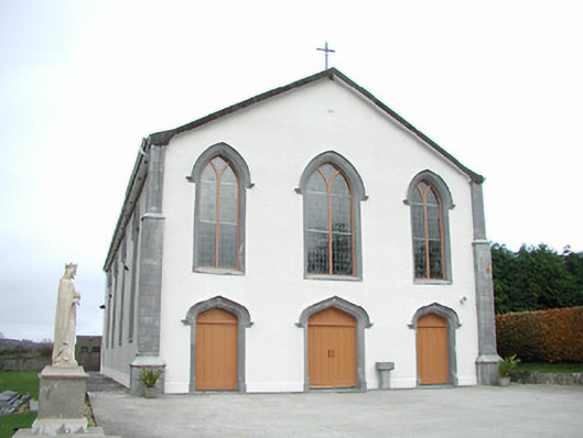 Catholic Church of the Assumptionchurch/chapel · 1575 yd
 Tullaroan ChurchChurch · 1.2 mi
 Gaulstown CastleCastle, unclassified · 1.4 mi
 Site of CastleCastle, unclassified · 1.8 mi
 Kildrinagh WoodForest · 3.1 mi
 Brown's WoodWood · 3.1 mi
 Freshford LoopWalking route · 3.7 mi
 Emma Jane Browne-ClaytonMemorial · 4.2 mi
 Ballykeeffe Mass RockNamed rock · 4.2 mi
 Ballykeefe QuarryCliff · 4.6 mi