What is recorded here
Mud and fire drove them out, or perhaps they left before the tragedy because the fort refused to hold life. The earth remembers the shape of human hands even when it swallows the names of those who dug it.
Raised subcircular area (int. dims. c. 46m N-S c. 39m E-W) enclosed by a substantial earthen bank and a wide, deep, waterlogged fosse. Break in bank at E presumably represents original entrance but there are no traces of an accompanying causeway.
The above description is derived from the published 'Archaeological Inventory of County Cavan' (Dublin: Stationery Office, 1995). In certain instances the entries have been revised and updated in the light of recent research.
Date of upload/revision: 22 December 2008
The monument record does not grant public access. Check the route and ask the landowner before entering private land.
- What survives
- Recorded monument
Places near here
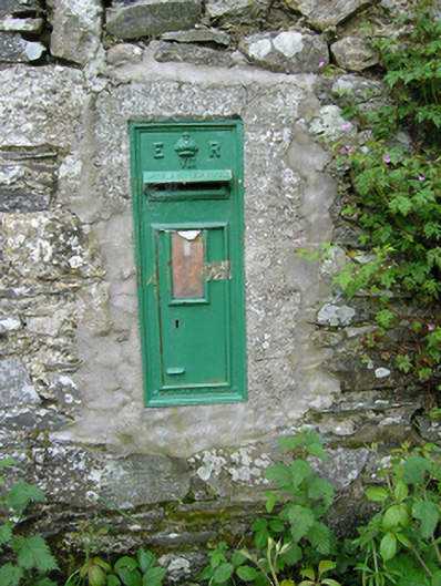 post boxpost box · 708 yd
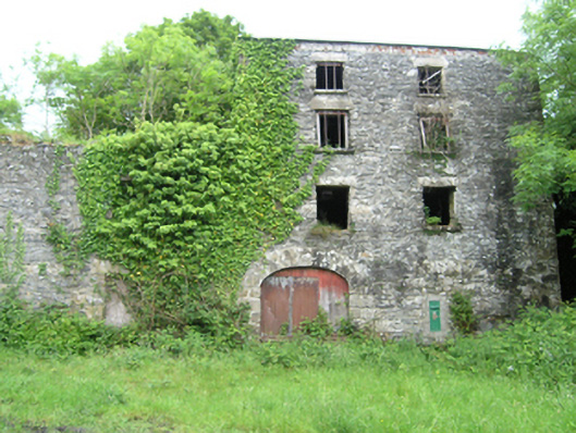 Coppanagh Millsmill (water) · 712 yd
 IndicatedFairy fort / earthen ringfort · 1002 yd
 Embanked enclosureBawn · 1545 yd
 BarrowBarrow, ring-barrow · 1703 yd
 BarraghMountain / peak · 1.0 mi
 Bawn in DrumsheilBawn · 1.8 mi
 DernaskeaghMountain / peak · 2.0 mi
 McCullagh's PlantationWood · 2.2 mi
 Giant's GraveArchaeological place · 2.4 mi
 Island WoodWood · 2.4 mi
 Giants GraveArchaeological place · 4.5 mi