What is recorded here
Fairy forts are human ringforts misnamed by later folklore, and Lisaquill is no exception: its oval grass bowl, forty-eight metres long on a south-east-facing slope, still holds a broken earthen bank that rises a little over a metre at the north-west end before fading to a shallow lip near the road. People may have lived there in small houses, kept fire going through wet Monaghan winters, and marked their border with earth thrown up from inside. The fairies entered later, as they do everywhere people stop explaining the shape of a place and begin wondering what it wants.
Situated on a SE-facing slope. This is an oval grass-covered area (dims 48m NW-SE; 31m NE-SW) that slopes down to the SE (H 1.9m) defined by an earthen bank (at NW: Wth of base 4.6m; int. H 1.2m; ext. H 1.3m) with some bushes W-N which is much reduced (at SE: Wth of base 7m; int. H 0.1m; ext. H 0.8m) N-ESE, but it is absent SSE-W. There is no visible fosse and a road bank surrounds the perimeter ESE-S. The original entrance is not identified
The above description is derived from the published 'Archaeological Inventory of County Monaghan' (Dublin: Stationery Office, 1986). In certain instances the entries have been revised and updated in the light of recent research.
Compiled by: Michael Moore
Date of revision: 27 February 2018
The monument record does not grant public access. Check the route and ask the landowner before entering private land.
- What survives
- Recorded monument
Places near here
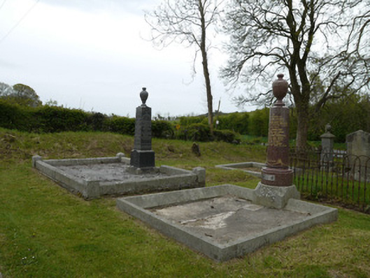 Broomfield Presbyterian ChurchGrave monument · 796 yd
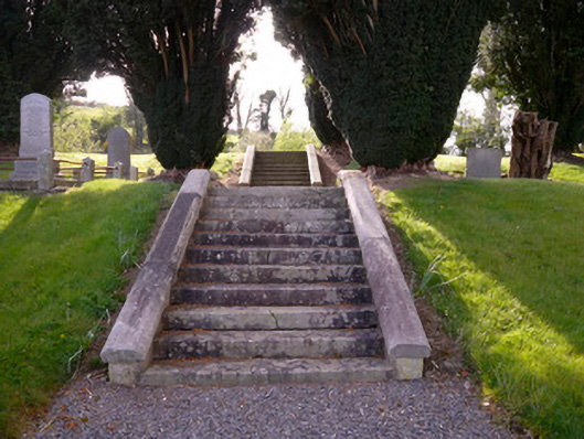 Holy Trinity Church (Donaghmoyne)church/chapel · 968 yd
 Fairy fort / earthen ringfort in AghadreenanFairy fort / earthen ringfort · 1024 yd
 IndicatedFairy fort / earthen ringfort · 1589 yd
 Fincarn HillMountain / peak · 1.4 mi
 KnockreaghMountain / peak · 1.4 mi
 Whites IslandIslet · 2.5 mi
 TobernagalliaghSpring · 3.0 mi
 Gully IslandIslet · 3.0 mi
 Lough MucknoLake and park landscape · 3.7 mi
 Mannan Castle (in ruins)Castle, Anglo-Norman masonry castle · 3.8 mi
 Bawn in OnomyBawn · 3.9 mi