What is recorded here
Thirty-eight metres of exposed earth still mark the Lisagoan ringfort, where a broken causeway invites entry past a deep fosse and an outer bank now hidden inside a field boundary. The missing northern ditch and unexplained northern depression suggest the site resisted simple description even before people stopped living there. Fairy fort is a nickname born of wonder, but the surviving shape records deliberate construction, repeated use and quiet abandonment in County Cavan.
Raised circular area (int. diam. 38m) enclosed by a substantial inner bank, a wide, deep fosse, which is absent from NNW-N-E, and the remains of an outer earthen bank. The outer bank survives from S-W-NNW where it has been modified and incorporated into the field boundary. Break in inner bank with accompanying causeway at SE represents original entrance. Inside the bank at NW is a large subcircular depression of unknown significance.
The above description is derived from the published 'Archaeological Inventory of County Cavan' (Dublin: Stationery Office, 1995). In certain instances the entries have been revised and updated in the light of recent research.
Date of upload/revision: 22 December 2008
The monument record does not grant public access. Check the route and ask the landowner before entering private land.
- What survives
- Recorded monument
Places near here
 NorthlandsWood · 1093 yd
 IndicatedEnclosure · 1557 yd
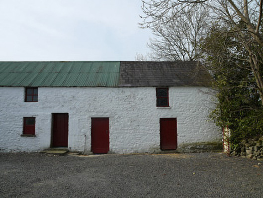 farmyard complexfarmyard complex · 1660 yd
 BarrowBarrow, ring-barrow · 1.1 mi
 Taghart South ForestForest · 1.3 mi
 St Joseph's Roman Catholic Churchchurch/chapel · 1.3 mi
 Drumerlough MoreMountain / peak · 1.5 mi
 CornamaghMountain / peak · 1.8 mi
 Giants GraveArchaeological place · 2.2 mi
 Castle ruinsCastle, unclassified · 3.2 mi
 Fair of MuffMemorial · 3.3 mi
 Green IslandIsland · 3.3 mi