What is recorded here
Situated at the N edge of a plateau or low hill. The cropmark of a circular enclosure (int. diam. c. 30m) defined by a wide inner (Wth c. 5m) and narrower outer (Wth c. 2m) concentric fosse features (ext. diam. c. 60m) is visible on aerial photograph (CUCAP, BOD 44). There is a wide gap (Wth c. 10m) in the inner fosse at NW and the enclosure is truncated slightly by a N-S field bank at E. The defining feature of enclosure (WX049-002001-) is attached to the outer fosse WSW-NW. It is also visible on aerial photographs (ASIAP (101) 21-4) taken in July 2000.
The above description is derived from the published 'Archaeological Inventory of County Wexford' (Dublin: Stationery Office, 1996). In certain instances the entries have been revised and updated in the light of recent research.
Compiled by: Michael Moore
Date of upload/revision: 4 February 2014
The monument record does not grant public access. Check the route and ask the landowner before entering private land.
- What survives
- Recorded monument
Places near here
 Enclosure in LewistownEnclosure · 34 yd
 Dollar Bay BeachBeach / strand · 539 yd
 ToberlukeHoly well · 588 yd
 Not inidcatedBawn · 855 yd
 Booley Bay BeachBeach / strand · 926 yd
 Carricjmore CliffCliff · 1386 yd
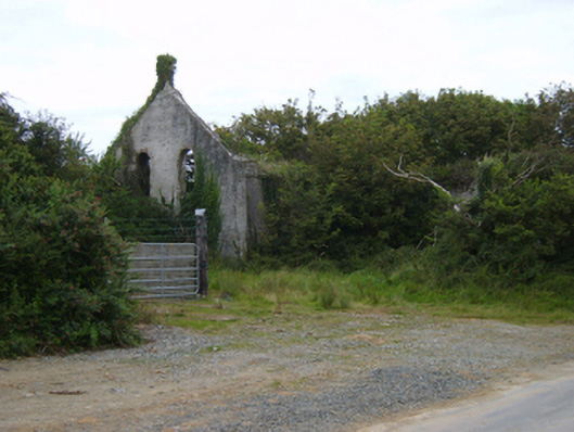 Templetown Catholic Chapelchurch/chapel · 1.0 mi
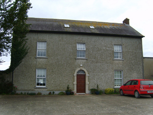 Air Hillfarm house · 1.0 mi
 IndicatedCastle, ringwork · 1.1 mi
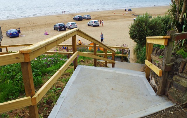 Duncannon BeachVisitor information · 2.4 mi
 Baginbun HeadHeadland · 3.2 mi
 Common WhitebeamCommon Whitebeam · 3.7 mi