What is recorded here
Fairy forts are not the whimsy they sound. They are human buildings, often old, and they keep the shape of the people who made them. The fairies enter later, filling the gap left when the human name is forgotten.
Raised circular area (int. diam. 28.4m) enclosed by a substantial earthen bank best preserved from NW-N-NE, and a wide, deep fosse which has been broadened at SW to form a watering-hole for cattle. Break in bank with remains of accompanying causeway at ENE represents original entrance.
The above description is derived from the published 'Archaeological Inventory of County Cavan' (Dublin: Stationery Office, 1995). In certain instances the entries have been revised and updated in the light of recent research.
Date of upload/revision: 22 December 2008
The monument record does not grant public access. Check the route and ask the landowner before entering private land.
- What survives
- Recorded monument
Places near here
 IndicatedFairy fort / earthen ringfort · 888 yd
 Bawn in DrumsheilBawn · 1603 yd
 BarraghMountain / peak · 1663 yd
 Fort HenryArchaeological place · 1.0 mi
 Embanked enclosureBawn · 1.0 mi
 DernaskeaghMountain / peak · 1.1 mi
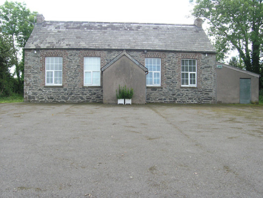 Rathkenny Orange HallOrange Hall · 1.1 mi
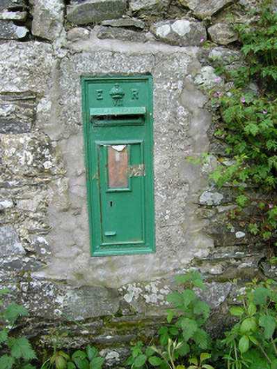 post boxpost box · 1.3 mi
 McCullagh's PlantationWood · 1.4 mi
 Island WoodWood · 1.6 mi
 Giant's GraveArchaeological place · 1.9 mi
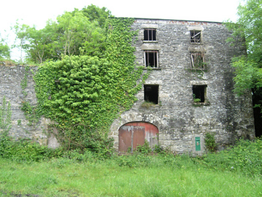 Coppanagh Millsmill (water) · 1.3 mi