What is recorded here
Mortons and Cavan field workers choked the fort with clearance debris, yet the oval bank still stands near Lettermore. Inside, vegetation has strangled the ground into a green chamber where human shadows may have breathéd before the field expanded. The broken causeways at north west and south still invite entry, suggesting the fort refused to become ordinary soil.
Raised oval area (int. dims. c. 28m NNE-SSW; c. 35m WNW-ESE) enclosed by a low earthen bank and a wide, deep fosse which is identifiable only from NW-N-S where it has been recently infilled with field-clearance debris. Original entrance may have been at NW or S where there are breaks in the bank with accompanying causeways. Internal area densely overgrown with vegetation.
The above description is derived from the published 'Archaeological Inventory of County Cavan' (Dublin: Stationery Office, 1995). In certain instances the entries have been revised and updated in the light of recent research.
Date of upload/revision: 22 December 2008
The monument record does not grant public access. Check the route and ask the landowner before entering private land.
- What survives
- Recorded monument
Places near here
 BarraghMountain / peak · 1298 yd
 IndicatedFairy fort / earthen ringfort · 1393 yd
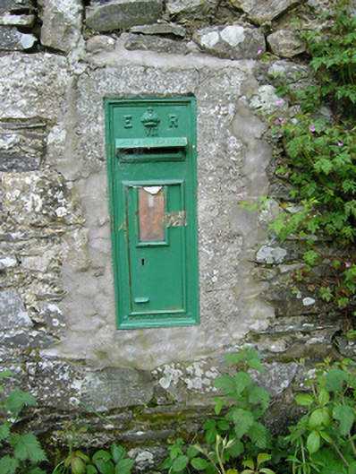 post boxpost box · 1727 yd
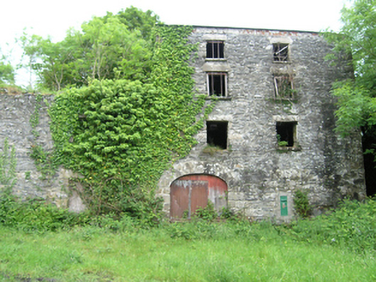 Coppanagh Millsmill (water) · 1730 yd
 Embanked enclosureBawn · 1.0 mi
 Bawn in DrumsheilBawn · 1.1 mi
 Fort HenryArchaeological place · 1.3 mi
 DernaskeaghMountain / peak · 1.4 mi
 McCullagh's PlantationWood · 1.7 mi
 Island WoodWood · 1.9 mi
 Giant's GraveArchaeological place · 2.1 mi
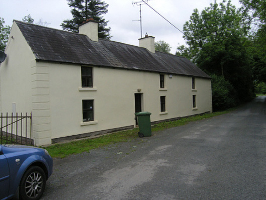 miller's housemiller's house · 1.0 mi