What is recorded here
Fairy fort / earthen ringfort in Leitrim (leitrim By., Kiltubbrid Ed) is a grass-covered circular platform in County Leitrim, Ireland, measuring about twenty metres across with a faint earthen bank on one side. It sits low near rock outcrop, has no visible entrance or ditch, and probably marks an old rath where people lived, hid, or played before the land forgot their names.
Situated in a low-lying position with rock outcrop. A circular feature is visible as on aerial photographs (GSIAP: H 135-4). This is a grass-covered circular platform (diam. 20m E-W; 19m N-S; H 0.9-1m) with traces of a slight earthen bank (Wth 3m; int. H 0.2m) on the perimeter at SSE. There is no visible fosse or entrance but it is probably a rath.
The above description is derived from 'The Archaeological Inventory of County Leitrim' compiled by Michael J. Moore (Dublin: Stationery Office, 2003). In certain instances the entries have been revised and updated in the light of recent research.
Date of upload: 23 September 2008
The monument record does not grant public access. Check the route and ask the landowner before entering private land.
- What survives
- Recorded monument
Places near here
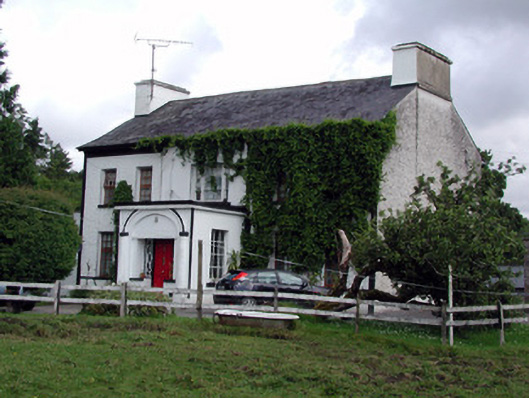 Annadale Housecountry house · 709 yd
 Holy well in KiltubbridHoly well · 726 yd
 Church (in Ruins)Church · 770 yd
 Small IslandIslet · 1186 yd
 Rusheen IslandIslet · 1212 yd
 Castle JohnCastle · 1493 yd
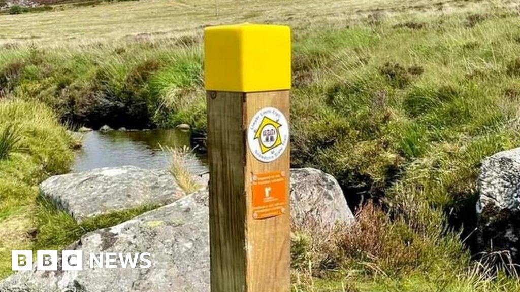 IndicatedFairy fort / stone ringfort · 1.6 mi
 CastleforeCastle, tower house · 1.9 mi
 Sheemore Ambush MemorialMonument · 3.6 mi
 Rocking StoneNamed rock · 3.8 mi
 Leabaidh DermotCave · 3.8 mi
 Sliabh an IarainnMountain / peak · 3.9 mi