What is recorded here
Fairy forts are human places misnamed, often by people who stopped asking questions and started inventing stories. In Lehenagh the facts are plainer: a circular earthwork about thirty metres across, with a low bank and shallow ditch, set on a NE-facing slope now used for tillage. That is enough to picture it: a small defended or domestic enclosure, built deliberately, lived in or avoided, then abandoned and half-forgotten. The fairy label is a later cover story, not an explanation.
In tillage, on NE-facing slope. Circular area (30m N-S; 31m E-W) enclosed by low earthen bank (ext. H 1.4m; int. H 0.9m); shallow fosse to E and S.
The above description is derived from the published 'Archaeological Inventory of County Cork. Volume 1: West Cork' (Dublin: Stationery Office, 1992). In certain instances the entries have been revised and updated in the light of recent research.
Date of upload/revision: 14 January 2009
The monument record does not grant public access. Check the route and ask the landowner before entering private land.
- What survives
- Recorded monument
Places near here
 CrossnalinnivBurial ground · 365 yd
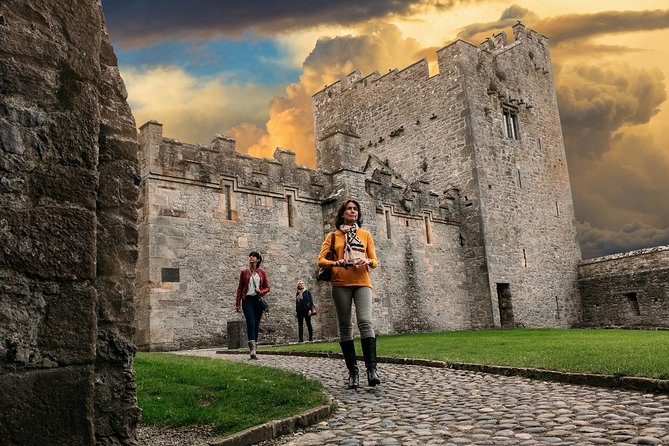 Rock Castle (in Ruins)Castle, tower house · 496 yd
 St Annes Well (Site of)Holy well · 527 yd
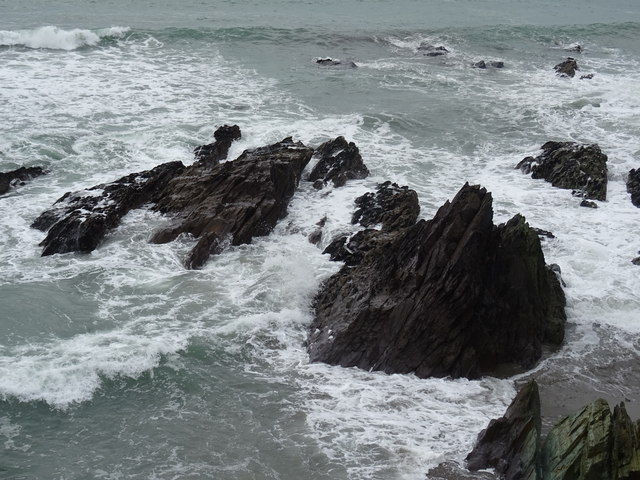 Dunworly BeachBeach / strand · 1597 yd
 Cave DunworleyViewpoint · 1675 yd
 Kilsillagh Church (in Ruins)Church · 1.1 mi
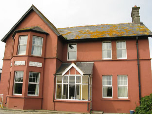 Lislevane Househouse · 1.2 mi
 Castle (in Ruins)Castle, unclassified · 1.3 mi
 Bird Island ViewViewpoint · 1.3 mi
 Dunworly PointHeadland · 1.6 mi
 War MemorialMemorial · 2.7 mi
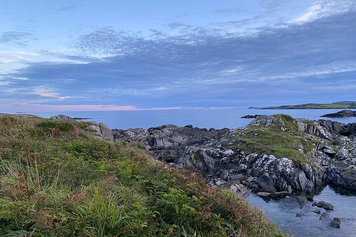 Interesting Cliffs RingCliff · 2.9 mi