What is recorded here
Marianne pressed her palms together until the red marks faded. She wanted to leave the chamber but the door had vanished. The walls leaned forward like listening animals. A small voice asked her to stop fearing the dark. She dropped one marble into the tray. The tray drank the marble and returned light. Marianne took the light back into her chest. The chamber gave her the door again.
In pasture, on steep N-facing slope, with extensive view over marshy valley to N. Ringfort (CO136-072---) c. 50m up slope to S. Marked as circular enclosure on OS 6-inch map (1842). Levelled; no visible surface trace.
The above description is derived from the published 'Archaeological Inventory of County Cork. Volume 1: West Cork' (Dublin: Stationery Office, 1992). In certain instances the entries have been revised and updated in the light of recent research.
Date of upload/revision: 14 January 2009
The monument record does not grant public access. Check the route and ask the landowner before entering private land.
- What survives
- Recorded monument
Places near here
 CrossnalinnivBurial ground · 837 yd
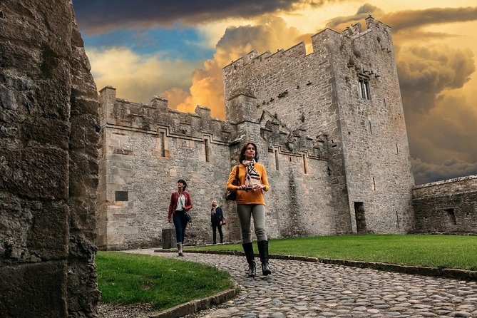 Rock Castle (in Ruins)Castle, tower house · 1164 yd
 St Annes Well (Site of)Holy well · 1188 yd
 Church in DonaghmoreChurch · 1446 yd
 Castle (in Ruins)Castle, unclassified · 1533 yd
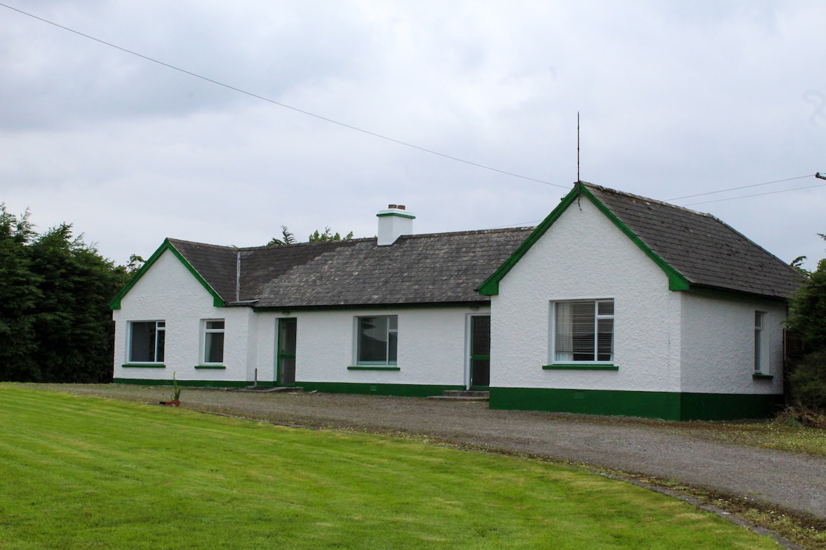 IndicatedQuarry · 1.1 mi
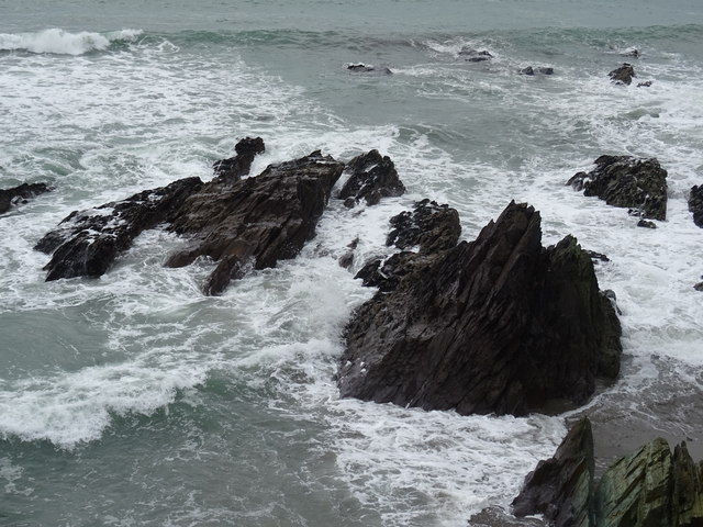 Dunworly BeachBeach / strand · 1.2 mi
 Cave DunworleyViewpoint · 1.3 mi
 Bird Island ViewViewpoint · 1.5 mi
 Dunworly PointHeadland · 1.8 mi
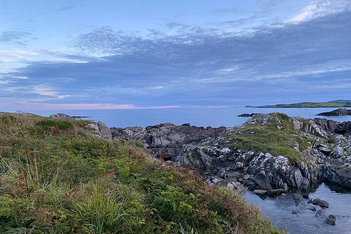 Interesting Cliffs RingCliff · 2.5 mi
 Stoney Beach RingBeach / strand · 3.1 mi