What is recorded here
Fairy fort / earthen ringfort in Legnacreeve: A circular enclosure, roughly twenty-five metres across, once stood on a sunny southern shelf in County Monaghan. The 1834 map marked it as a fort in gothic lettering, but improved pasture has since swallowed the earthworks entirely. A second rath sits a hundred metres to the north-northwest, suggesting a small cluster of ancient boundaries rather than a lone outpost. The land remembers shapes that human eyes have forgotten.
Situated on a shelf on a S-facing slope. A circular enclosure (diam. c. 25m E-W) is depicted only on the 1834 edition of the OS 6-inch map where it is described in gothic lettering as a ‘fort’. No archaeological feature is visible at ground level in improved pasture. Rath (MO014-016----) is c. 100m to the NNW.
The above description is derived from the published 'Archaeological Inventory of County Monaghan' (Dublin: Stationery Office, 1986). In certain instances the entries have been revised and updated in the light of recent research.
Date of revision: 26 February 2018
Revised by: Claire Breen / Michael Moore
The monument record does not grant public access. Check the route and ask the landowner before entering private land.
- What survives
- Recorded monument
Places near here
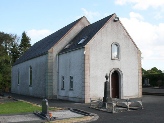 Clontibret First Presbyterian Churchchurch/chapel · 926 yd
 Braddocks Presbyterian Churchchurch/chapel · 1128 yd
 Man-made underground passage in Moy OtraMan-made underground passage · 1.1 mi
 Lisleitrim FortFairy fort / earthen ringfort · 1.4 mi
 Castleshane WaterfallWaterfall · 1.6 mi
 Battle of ClontibretBattlefield · 1.9 mi
 Caldwells' WoodWood · 4.2 mi
 Liscarney WoodWood · 4.4 mi
 Bawn in Roosky (monaghan By., Monaghan Par.)Bawn · 4.6 mi
 Rossmore MonumentMemorial · 4.7 mi
 Monaghan County MuseumMuseum · 4.7 mi
 Rossmore MausoleumHeritage attraction · 4.9 mi