What is recorded here
Mortons and others lived beside the fort for generations, perhaps inside it, while fairies kept the old room closed. The earth bank and outer ditch still mark the boundary on the ridge, preserving a place where human and fairy claims overlapped. What the fort excluded is harder to know than what it enclosed.
Situated on a NW-SE ridge. This rath is depicted on McCrea’s map of Co. Monaghan (1793). It is an oval overgrown area (dims c. 38m NW-SE; c. 30m NE-SW) defined by an earthen bank (at NW: Wth of base 7.6m; Wth of top 1.6m; int. H 1.1m; ext. H 4.2m) and outer fosse (at NW: Wth of top 6.7m; Wth of base 2.6m; ext. D 2.2m). There is a gap (Wth of base 1.2m) in the bank at NW but the original entrance (Wth of base 2.6m) and causeway (Wth of top 1.4m; H 0.65m) are at SE.
The above description is derived from the published 'Archaeological Inventory of County Monaghan' (Dublin: Stationery Office, 1986). In certain instances the entries have been revised and updated in the light of recent research.
Date of revision: 27 July 2017
The monument record does not grant public access. Check the route and ask the landowner before entering private land.
- What survives
- Recorded monument
Places near here
 Fairy fort / earthen ringfort in AghalileFairy fort / earthen ringfort · 679 yd
 Fin McCools TableMegalithic tomb · 824 yd
 Horse-chestnutHorse-chestnut · 1737 yd
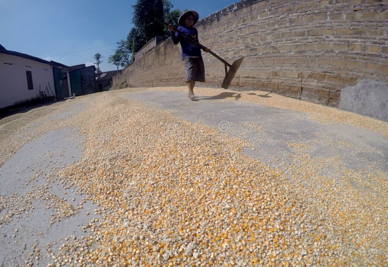 KilnKiln, corn-drying · 1.0 mi
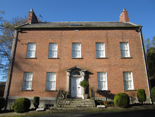 Derryolam Houserectory/glebe/vicarage/curate's house · 1.0 mi
 European BeechEuropean Beech · 1.8 mi
 Mannan Castle (in ruins)Castle, Anglo-Norman masonry castle · 2.1 mi
 TobernagalliaghSpring · 2.1 mi
 Drumerlough MoreMountain / peak · 4.2 mi
 RaferaghMountain / peak · 4.6 mi
 Gully IslandIslet · 5.0 mi
 Rock IslandIslet · 5.2 mi