What is recorded here
Scarped and planted with trees, the earthen ringfort in Lavey stands thirty metres across, its break at the south-west marking the entrance where people once passed. The fosse is largely infilled, yet the bank still holds its shape, suggesting a lived defensive space rather than a empty mound. Local names call it a fairy fort, but that is story, not fact. The stones and soil preserve a human dwelling, perhaps tense, perhaps proud, now quiet under leaves.
Raised circular area (int. dims. 32.2m NNW-SSE; 31.3m ENE-WSW) enclosed by a substantial earthen bank which has been scarped and planted with trees, and a fosse, largely infilled from SSW-W. Break in bank at SSW may represent original entrance.
The above description is derived from the published 'Archaeological Inventory of County Cavan' (Dublin: Stationery Office, 1995). In certain instances the entries have been revised and updated in the light of recent research.
Date of upload/revision: 22 December 2008
The monument record does not grant public access. Check the route and ask the landowner before entering private land.
- What survives
- Recorded monument
Places near here
 Ancient Order of Hibernians MemorialMemorial · 337 yd
 Church (Site of)Church · 491 yd
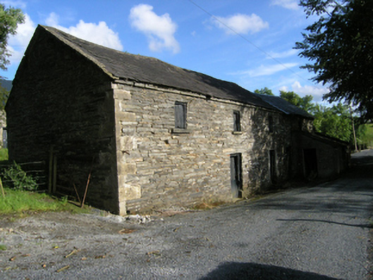 mill (water)mill (water) · 560 yd
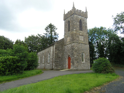 Lavey Church of Ireland Churchchurch/chapel · 570 yd
 Lavey FortFairy fort / earthen ringfort · 679 yd
 To The Memory of P.J. DukeMemorial · 1.1 mi
 Killymeehan ForestForest · 1.5 mi
 Aghalackan EastMountain / peak · 1.8 mi
 RavenswoodForest · 2.2 mi
 Aghalackan WestMountain / peak · 2.4 mi
 Raven's RockNamed rock · 3.1 mi
 Carricknagore RockNamed rock · 4.0 mi