What is recorded here
Magic is not required to explain the chamber, although chamber it is. The fort stands complete on its hill, waiting to be seen whole instead of measured in parts. What resists understanding may simply be ahead of the person judging it.
In pasture, on top of a hillock in an undulating wooded area, overlooking Kilmakilloge Harbour to the NW. A roughly circular area (diam. c. 22m), covered with overgrowth, defined by a low earthen bank (Wth 6m; int. H 0.35-1.1m; ext. H 3.2m). There is a possible entrance (Wth 2.2m) at ESE and a cattle-break at W. An intervening fosse (Wth 2.9m) is visible W-NE, SE-SSE and S-WSW. There is an outer bank (Wth 2.25m; int. H 1.35m; ext. H 0.4m) W-NE, SE-SSE, S-WSW. The interior is level and wet. There is a closed-up possible Man-made underground passage (KE108-019001-) to the E of the centre.
The above description is derived from the published 'Archaeological Inventory of County Kerry. Volume I: South-West Kerry' (Dublin: Stationery Office, 2009). In certain instances the entries have been revised and updated in the light of recent research.
Date of upload: 30 May 2011
The monument record does not grant public access. Check the route and ask the landowner before entering private land.
- What survives
- Recorded monument
Places near here
 Man-made underground passage in Lauragh UpperMan-made underground passage · 1 yd
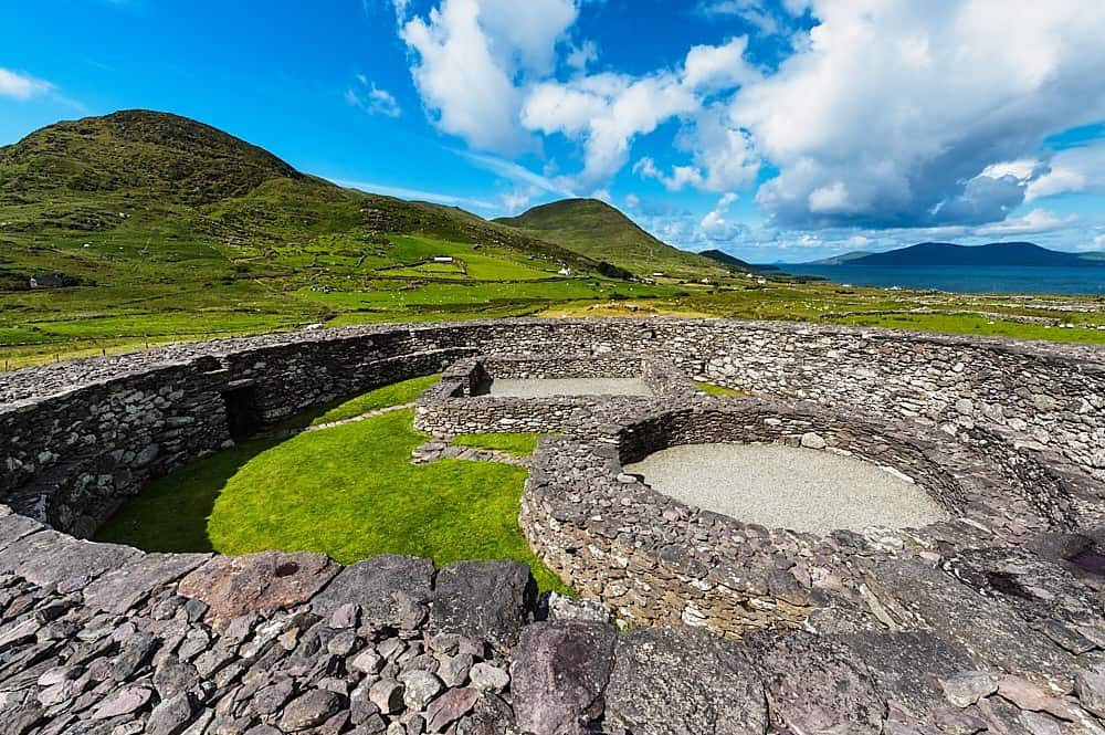 Fairy fort / earthen ringfort in Lauragh LowerFairy fort / earthen ringfort · 428 yd
 Croanshagh Br.Bridge · 511 yd
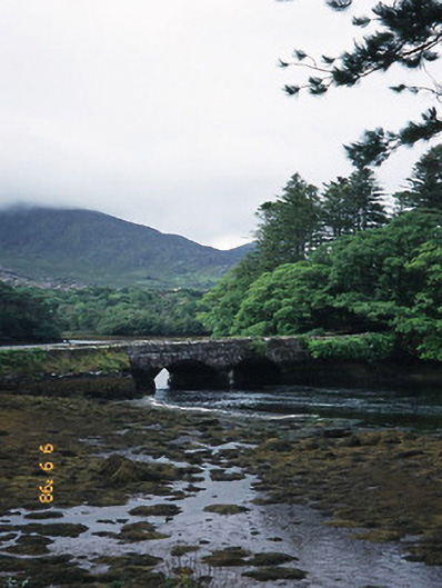 Cappul Bridgebridge · 592 yd
 New Zealand broadleafNew Zealand broadleaf · 1269 yd
 Japanese cedarJapanese cedar · 1306 yd
 KnockastumpaMountain / peak · 1.2 mi
 Crane IslandIslet · 1.4 mi
 Duck RockIslet · 1.4 mi
 CummeennahillanMountain / peak · 1.5 mi
 DroppaCliff · 3.6 mi
 Mare's Tail WaterfallViewpoint · 4.7 mi