What is recorded here
The northerly of two earthen ringforts at Lattacrossan still holds a grassy dome thirty-eight metres across, marked on McCrea's Map of County Monaghan (1793) and later official charts. Its steep scarped edge rises a metre at the north but three metres at the southeast, weaving into an overgrown field bank while quarrying has bitten through the southern perimeter. The missing entrance and hidden ditch suggest the land itself swallowed the boundary, leaving only a domed shadow where human hands once shaped the slope.
Situated on a rise which is on a NE-facing slope and overlooking a col with a hill rising to the NE. This rath is the more northerly of two at Lattacrossan represented on McCrea’s Map of County Monaghan (1793), and it is also depicted on the 1834 and 1907 editions of the OS 6-inch map. This is an oval and domed grass-covered area (dims 38m NNW-SSE; 32.3m ENE-WSW) defined by a scarp (Wth 1.5m; H 1m at N to 3m at SE) that is incorporated into an overgrown field bank and hedge SE-W-NW. There is no visible fosse and the original entrance is not identified. The perimeter is damaged by quarrying SSE-SSW.
The above description is derived from the published 'Archaeological Inventory of County Monaghan' (Dublin: Stationery Office, 1986). In certain instances the entries have been revised and updated in the light of recent research.
Revised by: Michael Moore
Date of revision: 21 June 2018
A fairy fort or earthen ringfort in Lattacrossan is a likely early-medieval defensive or agricultural settlement, typical of the Iron Age to early Christian period in Ireland. Local folklore may associate it with fairy legend, as the term "fairy fort" often reflects later beliefs about such ancient sites.
The monument record does not grant public access. Check the route and ask the landowner before entering private land.
- What survives
- Recorded monument
Places near here
 LattacrossanMountain / peak · 565 yd
 IndicatedFairy fort / earthen ringfort · 632 yd
 Worm Ditch or Black Pigs RaceArchaeological place · 850 yd
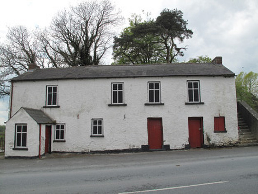 Scotshouse National Schoolschool · 1660 yd
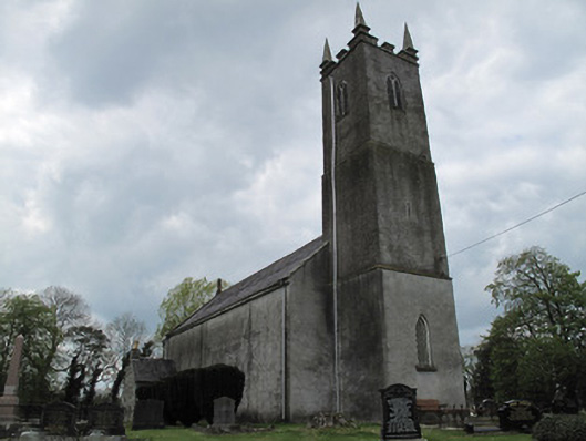 Saint Andrew's Church (Currin)church/chapel · 1718 yd
 CallowhillMountain / peak · 1.2 mi
 The Beech WoodWood · 1.4 mi
 Cush WoodWood · 1.4 mi
 Drumcarn Ho.Castle, unclassified · 3.0 mi
 Bawn in DrumsheilBawn · 4.3 mi
 Giant's GraveArchaeological place · 4.5 mi
 Ulster Canal Stores Visitor CentreHeritage attraction · 4.6 mi