What is recorded here
Fairy fort / earthen ringfort in Latnakelly stands on a small NNW-SSE drumlin ridge in County Monaghan, Ireland. It is a grass and scrub-covered subcircular area 34m N-S and 30.5m E-W, defined by an overgrown earthen bank with a 3m wide entrance at ENE. Outside the bank runs a field hedge and drain, becoming a masonry wall beside a NE-SW farm road to the west. The interior has been overgrown since at least 1968, preserving a quiet, ancient shape above the living land.
Situated on top of a small NNW-SSE drumlin ridge. This is a grass and scrub-covered subcircular area (dims 34m N-S; 30.5m E-W) defined by an overgrown earthen bank (at SSE: Wth of base 3m; int. H 0.4m; ext. H 0.7m). There is no visible fosse but outside the bank is a field bank and hedge that has an outer drain N-SSE, and the field bank is replaced by a masonry wall W-NW where it borders a NE-SW farm road. The entrance (Wth of base 3m) in the rath bank is at ENE. The interior has become overgrown since 1968 (OSAP).
The above description is derived from the published 'Archaeological Inventory of County Monaghan' (Dublin: Stationery Office, 1986). In certain instances the entries have been revised and updated in the light of recent research.
Compiled by: Michael Moore
Date of revision: 26 February 2018
The monument record does not grant public access. Check the route and ask the landowner before entering private land.
- What survives
- Recorded monument
Places near here
 IndicatedCrannog · 530 yd
 Church in CroaghanChurch · 678 yd
 Enclosure in AnnagloghEnclosure · 1100 yd
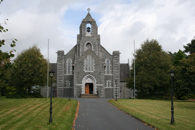 Saint Michael's Catholic Churchchurch/chapel · 1.4 mi
 Monaghan WayWalking route · 2.1 mi
 Battle of ClontibretBattlefield · 3.1 mi
 John Francis GreenMemorial · 3.8 mi
 The CrescentMemorial · 4.3 mi
 Mullyash MountainMountain / peak · 4.3 mi
 Harper's IslandIslet · 4.5 mi
 Blaney CastleCastle · 4.6 mi
 Bawn in OnomyBawn · 4.6 mi