What is recorded here
Fairy forts are no fairy tale. They are ancient human places misnamed because people stopped remembering what they were for. In Larragan a circular enclosure once reached forty metres across, large enough for real lives inside. It may have worn two walls, and it may have stood tall before ploughs flattened it. The land still marks the hole where the fort disappeared. Forgetting did not erase the shape. It only pushed the memory downward, where rain and root pressure keep drawing it back into view.
A circular enclosure (max. diam. c. 40m) marked on the 1910 edition of the OS 6-inch map. The site has been levelled but is visible as a cropmark on aerial photographs (ACAP, V 300, 709-10). Possibly a bivallate ringfort.
The above description is derived from the published 'Archaeological Inventory of County Laois' (Dublin Stationery Office, 1995) compiled by P. David Sweetman, Olive Alcock and Bernie Moran. In certain instances the entries have been revised and updated in the light of recent research.
Date of upload: 17 December 2007
The monument record does not grant public access. Check the route and ask the landowner before entering private land.
- What survives
- Recorded monument
Places near here
 IndicatedEnclosure · 1123 yd
 Kilmanman church (in Ruins), GraveyardChurch · 1141 yd
 Ecclesiastical enclosure in KilmanmanEcclesiastical enclosure · 1184 yd
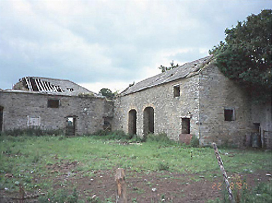 Castlecuffestables · 1576 yd
 Castle Cuffe (ruins)Castle · 1663 yd
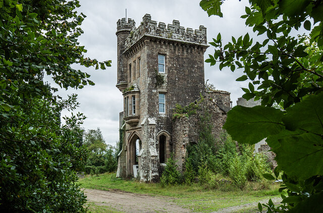 Brittas HouseRuins · 1.1 mi
 Partiall hachuredBawn · 1.4 mi
 Church (in Ruins), Graveyard, CarrigeenChurch · 3.0 mi
 Mullagh HillMountain / peak · 3.6 mi
 Slieve Bloom MountainsMountain range · 3.9 mi
 Giant's Grave LoopWalking route · 4.0 mi
 Mahon's WoodWood · 4.6 mi