What is recorded here
Fairy fort / earthen ringfort in Lahardan is a fairy fort or earthen ringfort in Lahardan, County Sligo, Ireland. It occupies undulating pasture on a ridge overlooking Lough Arrow to the southwest. The structure contains a raised roughly circular area measuring twenty-seven by twenty-three metres inside an earthen bank that is two and a half metres wide. An external fosse two metres wide surrounds the bank, while a trigonometrical station marked the southwest bank on the 1838 OS 6-inch map.
In undulating pasture, on top of a ridge overlooking Lough Arrow to SW. A raised roughly circular area (int. diam. 27m x 23m) enclosed by an earthen bank (Wth 2.5m; int. H 1m; ext. H 2.2m) with an external fosse (Wth 2m). A trigonometrical station was indicated on the bank at SW on the 1838 OS 6-inch map.
The above description is derived from the published 'Archaeological Inventory of County Sligo' compiled by Ursula Egan, Elizabeth Byrne, Mary Sleeman with Sheila Ronan and Connie Murphy (Dublin Stationery Office, 2005).
Date of upload: 18 January 2008
A fairy fort or earthen ringfort in Lahardan is a likely early-medieval defensive or agricultural site, characterized by a circular enclosure with an earthen bank and external ditch. Local tradition associates such sites with fairy folklore, reflecting their enigmatic and otherworldly reputation in Irish tradition.
The monument record does not grant public access. Check the route and ask the landowner before entering private land.
- What survives
- Recorded monument
Places near here
 Sweat Ho. (1838).Sweathouse · 356 yd
 TobernagraniaHoly well · 540 yd
 Barroe NorthMountain / peak · 1348 yd
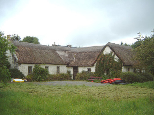 Nasool Cottagehouse · 1380 yd
 Ballindoon AbbeyRuins · 1516 yd
 Ballindoon Castle (in Ruins)Castle, unclassified · 1.1 mi
 TumulusCastle, motte · 1.7 mi
 InishmoreIslet · 1.7 mi
 Annaghgowla IslandIslet · 1.7 mi
 Loughbrick BayBay · 2.4 mi
 Geevagh Prisoners 1908 MemorialMemorial · 2.8 mi
 Bricklieve MountainsMountain / peak · 3.7 mi