What is recorded here
Lahard once held a massive two-banked fortress overlooking the River Laune, but human impatience erased its memory during the 1970s. Only a shallow thirty-six-metre circle remains visible today, a ghostly suggestion of the deep ditch and towering earthworks that once defended the slope. The land forgot its own strength in a single generation, leaving behind merely a soft bump where genuine power once stood.
In pasture, on a S-facing slope, overlooking the valley of the River Laune. A circular area (diam. c. 36m) defined by a low rise. This rath is indicated on the 1895 OS 6-inch map as a roughly circular enclosure (diam. c. 60m). According to local information, this was a bivallate rath with two substantial banks and a deep intervening fosse and it was levelled in the 1970s.
Compiled by: Elizabeth Byrne, Ursula Egan and Sheila Ronan, Archaeological Survey Unit, University College, Cork.
Date of upload: 31 January 2011
The monument record does not grant public access. Check the route and ask the landowner before entering private land.
- What survives
- Recorded monument
Places near here
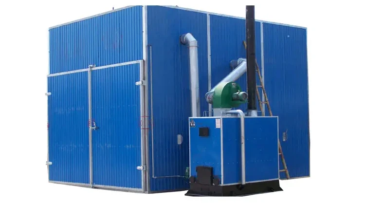 KilnKiln, corn-drying · 952 yd
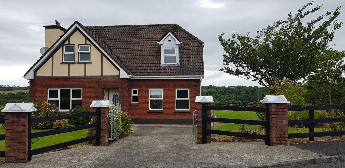 LissaphucaFairy fort / earthen ringfort · 1057 yd
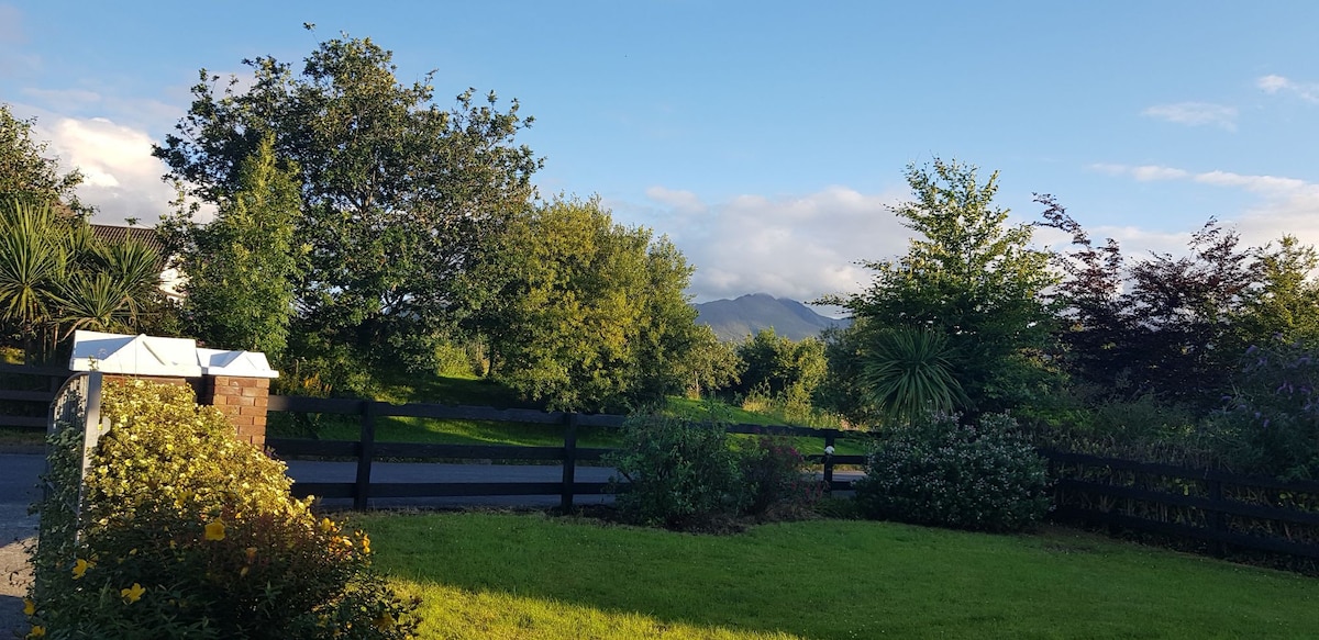 Man-made underground passage in BeaufortMan-made underground passage · 1372 yd
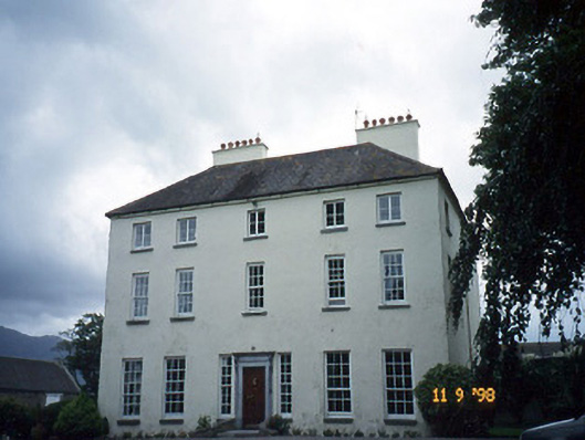 Churchtown Housecountry house · 1413 yd
 CastleCastle, tower house · 1.1 mi
 Castle Core (in Ruins)Castle, tower house · 1.1 mi
 Dunloe Ogham StonesHeritage attraction · 1.3 mi
 Japanese pagoda treeJapanese pagoda tree · 1.4 mi
 European YewEuropean Yew · 1.5 mi
 The Kerry Creamery ExperienceHeritage attraction · 2.8 mi
 Tomies Mountain North TopMountain / peak · 3.6 mi
 Rabbit or Brown IslandIslet · 4.0 mi