What is recorded here
Fairy forts hide in plain sight, often reduced to shallow dents or forgotten field margins. In Lahard, a D-shaped ringfort measured thirty by twenty metres on an eighteen-hundred-and-forty-two map. Farming and boundary changes erased the visible trace, but the ancient shape still influences the land.
In tillage, on SSE-facing slope. Depicted as D-shaped area (c. 30m N-S; c.20m E-W), with straight edge to E defined by field boundary, on 1842 OS 6-inch map. Field boundary removed; marked sharp drop to stream valley. Enclosure levelled; no visible surface trace.
The above description is derived from the published 'Archaeological Inventory of County Cork. Volume 2: East and South Cork' (Dublin: Stationery Office, 1994). In certain instances the entries have been revised and updated in the light of recent research.
Date of upload/revision: 14 January 2009
The monument record does not grant public access. Check the route and ask the landowner before entering private land.
- What survives
- Recorded monument
Places near here
 Prehistoric sitePrehistoric site, lithic scatter · 300 yd
 IndicatedFairy fort / earthen ringfort · 615 yd
 InchBeach / strand · 629 yd
 rectory/glebe/vicarage/curate's houserectory/glebe/vicarage/curate's house · 692 yd
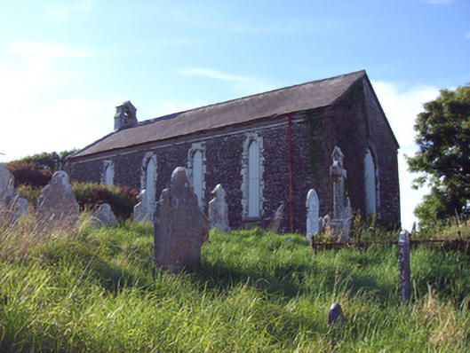 church/chapelchurch/chapel · 734 yd
 Fossil Worm TrackNamed rock · 830 yd
 RobertMemorial · 1173 yd
 Doonpower (in Ruins)Castle, unclassified · 1257 yd
 Anchor The SagaMemorial · 1.6 mi
 Ballybrannigan BeachBeach / strand · 2.0 mi
 Trabolgan Holiday VillageHeritage attraction · 2.8 mi
 Long OrchardWood · 3.2 mi